Development Challenges in the Amazon Tackled from Space – New Project
The United States Agency for International Development (USAID) and the U.S. National Aeronautics and Space Administration (NASA) have announced a new project that will use satellite imagery to address environment and development challenges across the Amazon Basin.
The International Research Institute for Climate and Society (IRI) of Columbia University’s Earth Institute is one of the core partners in the new, five-year project, called SERVIR-Amazonia.
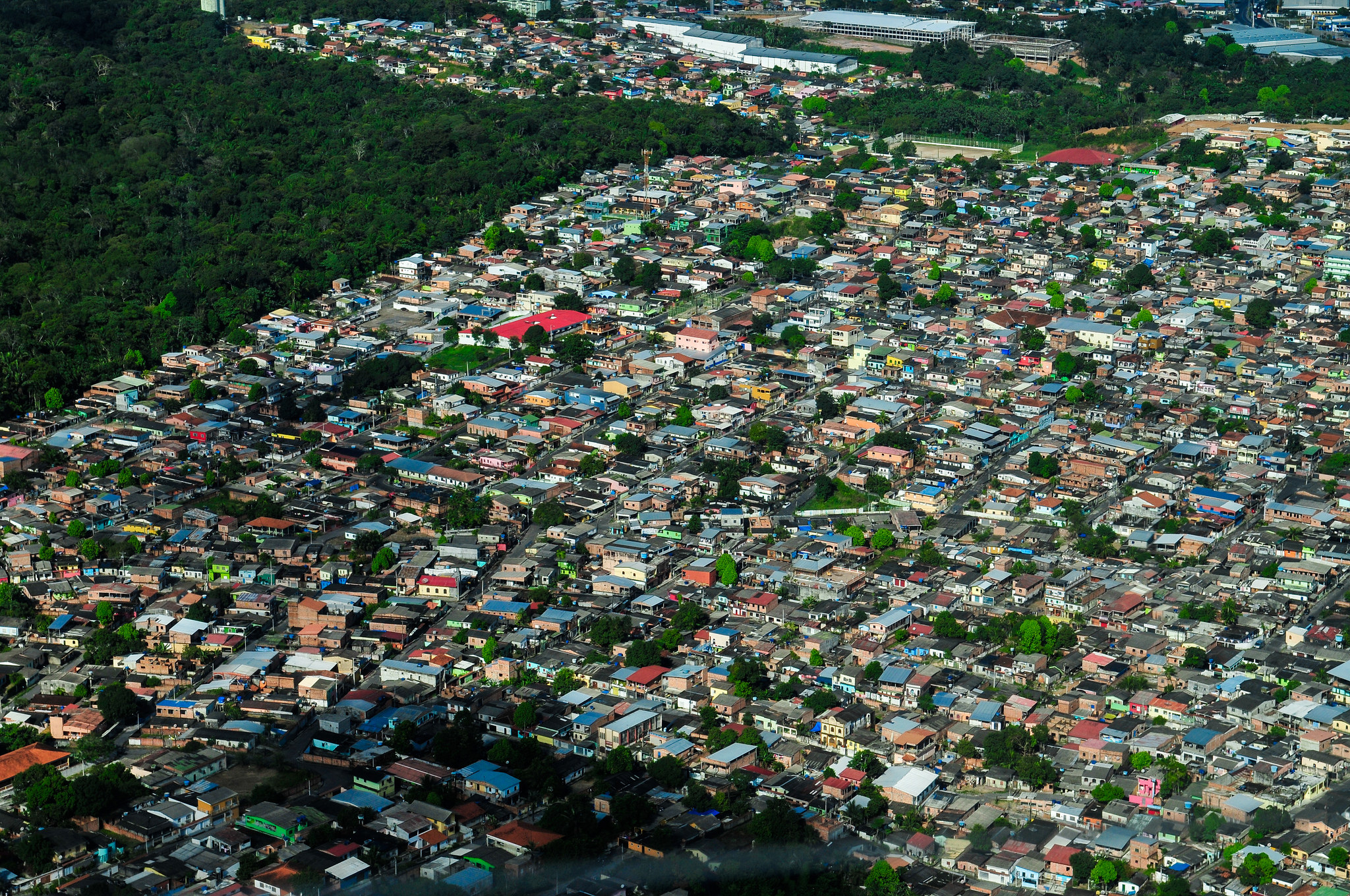
Photo by Neil Palmer/CIAT.
“This is great opportunity for IRI to expand our work on forecasting seasonal fire risk in the Amazon,” says Kátia Fernandes, IRI’s lead scientist on the project.
Using state-of-the-art geospatial technologies, SERVIR-Amazonia will enable the tracking of environmental changes in the region in almost real-time. It will also help stakeholders evaluate climatic threats and rapidly respond to natural disasters. By building the capacity of people and institutions to integrate science and technology into decision making, the project will support sustainability and self-reliance throughout the region.
“Empowering local stakeholders is important for transparency and ownership of policies and programs that meet the needs and aspirations of the people living in Amazonian landscapes,” says Louis Verchot, of the International Center for Tropical Agriculture (CIAT), and chief project scientist.
SERVIR-Amazonia will enable governments, institutions and communities to use publicly-available satellite imagery, geospatial data and maps to inform decisions in four areas: drought and fire, water resources and extreme events, ecosystem management, and weather and climate.
“IRI’s expertise fits in all four of these themes, which along with our long tradition of capacity building will help the new project achieve its goal of improving local capacity to harness satellite data and geospatial information to manage the Amazon’s incredible natural resources in a sustainable way,” says Fernandes.
SERVIR Amazonia will be one of five SERVIR hubs currently operating around the world. SERVIR connects USAID’s development network with NASA’s science, technology and extensive satellite data. Together with leading regional organizations in Africa, Asia and Latin America, the SERVIR global network has developed demand-driven services, tools and trainings for decision makers in more than 45 countries.
For example, SERVIR’s Enhanced Flood Early Warning Service is increasing flood forecast lead times in the South Asia region. This includes an operational 15-day flood forecast that integrates local data into a global model using methods co-developed by U.S. researchers, local experts, and decision-makers. Longer lead times and access to accurate, appropriate information ensures better preparedness for disaster responders, who can help to save lives and property. SERVIR Amazonia will bring similar tools to bear on the challenges of the region.
USAID will fund SERVIR-Amazonia, and NASA will provide science and technology support. The project will be implemented by the International Center for Tropical Agriculture (CIAT) and a network of local and international partners serving the Amazon region, including the Amazon Conservation Association (ACCA), the Institute of Agricultural and Forest Management and Certification (IMAFLORA), and Spatial Informatics Group (SIG).
More information on SERVIR is available at www.servirglobal.net.
You must be logged in to post a comment.