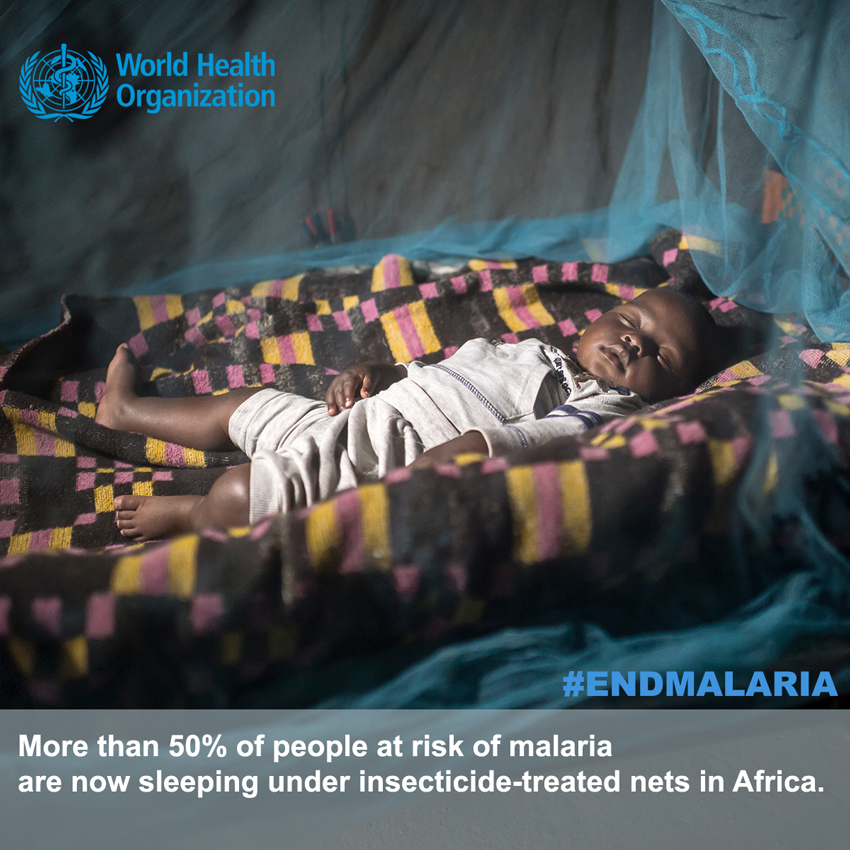
ENACTS Maprooms for Malaria Control
Climate data and tools for malaria control in Africa – the ENACTS initiative
 Public health policy makers and practitioners are increasingly concerned about the impact that climate, environmental and social changes might have on the effectiveness of current and future vector-borne disease control and elimination programs. Yet, while climate change adaptation programs are increasing in scope and resourcing, an identified gap remains in research and professional capacity to use climate information in decision making. In the health sector, many control programs of malaria and other climate-sensitive diseases are not informed by grounded knowledge and information on the climate. Few public-health institutions or practitioners are equipped to understand or manage the effects of a changing climate, despite a major push in recent years to alert the health community to its risks.
Things are beginning to change. National meteorological and hydrological services (NMHSs) are developing new capacities that can bring climate knowledge and information to health policy makers and practitioners. Such efforts have been funding by USAID, NASA, UK DfID, the Global Framework for Climate Services (GFCS) and other partners, with the support of Columbia University’s International Research Institute for Climate and Society.
For instance: Tanzania is planning to use a “Maproom” of climate information services (developed by the Tanzanian Meteorological Agency and disseminated on its website) as an element of its national malaria transmission surveillance system in the context of the integrated comprehensive malaria surveillance framework. Climate information, together with parasitological and entomological variables, is expected to inform malaria control partners about the intensity of transmission and its spatial and temporal heterogeneity. They can then use this information to select appropriate disease control packages to improve efficiency, effectiveness, equity and economy of interventions. The climate training package developed by IRI (with funding from the GFCS), as well as the Maproom, will be disseminated to local government authorities as part of the malaria-specific surveillance package.
The Maproom is a result of the Enhancing National Climate Services (ENACTS) initiative which aims to simultaneously improve the availability, access and use of climate information by working directly with the NMHS. Agnes, Kijazi, the director of the Tanzanian Meteorological Agency, explains how in this recent video interview.
Currently, ENACTS is being implemented in ten countries in Africa and two regions. In order to learn more about ENACTS in-country activities, including training modules that show you how to use the different Maprooms developed, please visit the website.
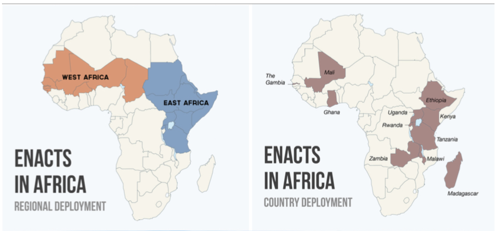
ENACTS regional (left) and country implementation (right).
Availability of ENACTS climate data is generated by quality control of data from the entire national observation network. ENACTS data combines controlled station observations with satellite estimates for rainfall, and digital elevation models and reanalysis products for temperature. The ENACTS approach thus brings together the spatial information from the climate proxies with the accuracy from point station measurements. The final products are datasets with 30 or more years of rainfall as well as temperature time-series data for every 4km grid across an entire country.
These quality-assessed, spatially and temporally complete products allow for characterization of climate risks at a local scale, while having national coverage. They offer a low-cost, high impact opportunity to support applications and research. The NHMS disseminates the ENACTS products via locally-hosted Maprooms and through other means. Access to the full suite of national observational archives and monitoring data significantly increases ENACTS data quality over global products, which normally access only a fraction of the local data. ENACTS also helps build local capacity as the systems are all run in-country. Higher quality historical data means that forecast information is also improved, as noted by Rwanda-Meteo in a recent blog post.
Experience tells us that climate information has the potential to inform a wide range of health decisions and improve our understanding of the following:
- Mechanisms of Disease Transmission: to help identify new opportunities for intervention
- Spatial Risk: to help identify populations at risk for better targeting of interventions
- Seasonal Risk: to inform the timing of routine interventions
- Sub-seasonal and Year-to-Year Changes in Risk: to identify when changes in epidemic risk are likely to occur to initiate appropriate prevention and response strategies
- Trends in Risk: to identify long-term drivers of disease occurrence (including changes in the climate) to plan for and support future prevention and response strategies
- Assessment of the Impacts of Interventions: to evaluate the role of climate as it enables or limits disease transmission.
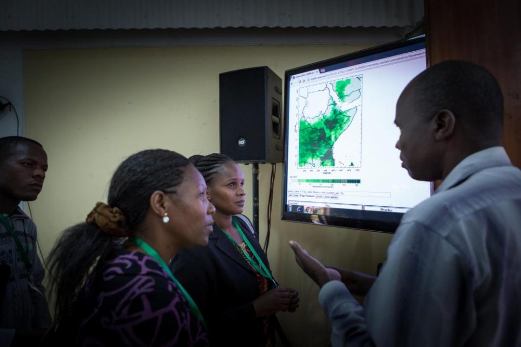
WISER Implementer’s Workshop at ICPAC. Photo: Francesco Fiondella/IRI
Thus, ENACTS Maproom tools and trainings have been specifically designed to support specific malaria decisions identified by the National Malaria Control programmes and their partners, including the President’s Malaria Initiative. New tools and training opportunities can be developed in response to specific additional malaria questions or new Maprooms can be developed for other health sector (or other sector) needs.
A number of projects are currently strengthening and expanding ENACTS products and services in Eastern Africa and building capacity at the regional climate center (ICPAC) to support longer term developments. These include USAID (Rwanda), GFCS (Tanzania) and UK DfID – WISER project (Ethiopia, Kenya, Tanzania, Uganda and Rwanda). See iri.columbia.edu/ENACTS for further information.
You must be logged in to post a comment.