New Climate Data in Zambia Unlocks Insurance Opportunities
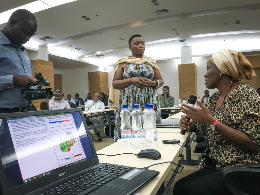
Live presentation of ENACTS in Zambia. Dan Osgood/IRI
In mid September, IRI staff helped launch an innovative new data platform in Lusaka, Zambia that combines satellite rainfall estimates with the country’s existing network of rain gauges. The platform, developed with the Zambia Meteorological Department and through funding from NASA, is the latest to come out of IRI’s Enhancing National Climate Services (ENACTS) initiative which aims to address the persistent problem of data scarcity and lack of access to climate information products in many African countries.
Coinciding with the launch of the ENACTS product, IRI’s financial instruments sector team then led a training on how to design agricultural index insurance and how to use different data sources throughout the process, including the newly available data.
Misheck Lungu, the Permanent Secretary of Zambia’s Ministry of Transport and Communications, spoke to the audience about the transformative impact of the new dataset on the climate and agriculture field.
“The ENACTS initiative has created an opportunity for developing reliable climate information that is suitable for national and local decision making,” said Lungu. “This initiative has improved data availability for our communities.”
Agriculture contributes about 20% of Zambia’s gross domestic product and accounts for 70% of the country’s labor force, according to the Zambia Development Agency. Almost all farming is rainfed, making the sector highly vulnerable to seasonal climate variability. Index-based insurance is one way to protect farmers against crop losses during times of drought or poor rainfall during the growing season.
The World Bank Group’s Global Index Insurance Facility (GIIF) funded the event, which brought together participants from the Zambia Meteorology Department, R4, World Food Program and the country’s insurance sector. They used the new ENACTS platform to solve index insurance design problems and identified how previously untapped expertise, products and capacities could improve each step of the index design process, including data collection, analyses and comparison of various data sources, index design and validation and index performance assessment.
The training participants highlighted some challenges, including the need for understanding of the strengths and weaknesses of different data sources available for index insurance. The training also identified new potential pathways to help existing projects scale massively.
The new data offers exciting new opportunities for future index insurance projects in Zambia as well as existing ones, including GIIF-funded projects with Focus and Mayfair, two Zambian insurance companies. GIIF provided grants to both insurers for scaling up of their index insurance offerings to maize, soya, and cotton producers in Zambia.
“The training highlighted the need for us to further get involved in the design process in order to better understand any new insurance products we will be selling, and make informed changes to products that already exist,” says Bwalya Namwawa, from the Lusaka-based Mayfair Insurance Company.
Dan Osgood, who leads IRI’s index insurance work, says the newly available data will ultimately lead to better insurance products. “This is a huge leap-having African climate service platforms this sophisticated will really unlock the scaling of index insurance, in a way that will truly help farmers.”
Learn more here about IRI’s work on using financial instruments for adaptation and climate risk reduction around the world.
About GIIF
Supported by the European Commission; ACP Group of States; the Netherlands; and Japan, GIIF works to provide access to finance to smallholder farmers and microentrepreneurs, primarily in Sub-Saharan Africa, through the development and implementation of index-based insurance.

This animation shows eight months of high-resolution rainfall data for Zambia, reconstructed using newly available ENACTS data sets produced by IRI and Zambia’s Meteorology Department.
You must be logged in to post a comment.