|
IRI Climate Digest
March 2006
Climate Impacts - February
Contributions to this page were made by IRI researchers
M. Bell,
Dr. A. Giannini,
E. Grover-Kopec,
Dr. B. Lyon,
C. Ropelewski
Hazards/Threats
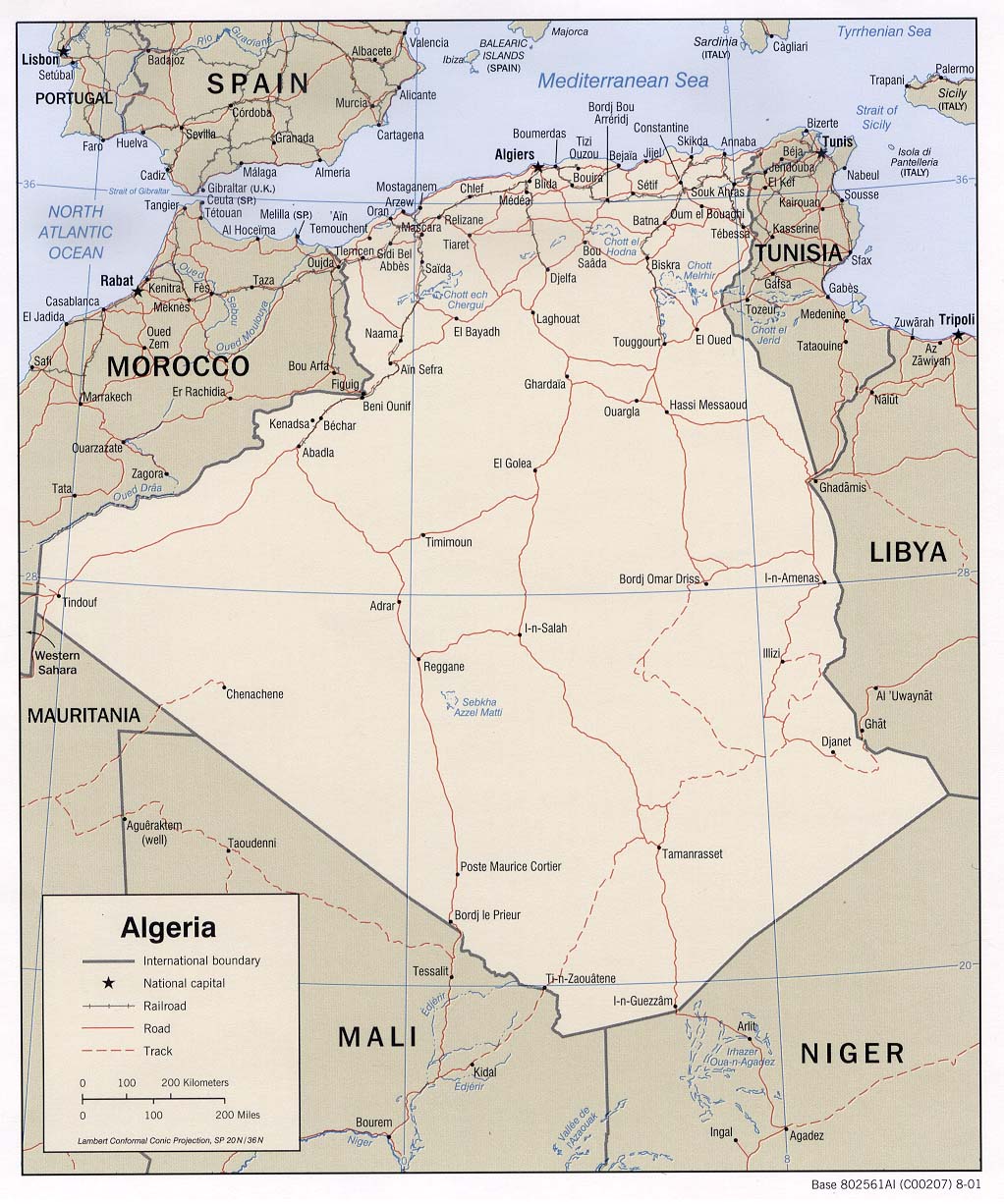
Africa - Algeria
Unusual, torrential rains during February in western Algeria caused destructive flooding. February typically marks the middle of the climatological rainy season in Northwest Africa, which occurs November-April. Half of the homes in the refugee camps of Awserd, Laayoune and Smara were destroyed in the flooding, and another 25% of them were seriously damaged. The homes in these camps are built with mud bricks, making them highly vulnerable to heavy rainfall and flooding. Approximately 50,000 of the Sahrawi refugees in these camps were made homeless, and most of the food stocks in the camps were ruined. (OCHA, ReliefWeb Map, UNHCR, NATO, USAID)
The abundant rainfall has brought very good crop conditions to Northwest Africa, however, where the primary grain crops in this region are wheat and barley. Soil moisture levels and vegetation indicators are above normal and timely rain during the boreal fall facilitated a good planting.
Rainfall during March and April will be important, however, as plants reach their flowering stage and evaporation rates rise with increasing temperatures. (USDA/FAS)
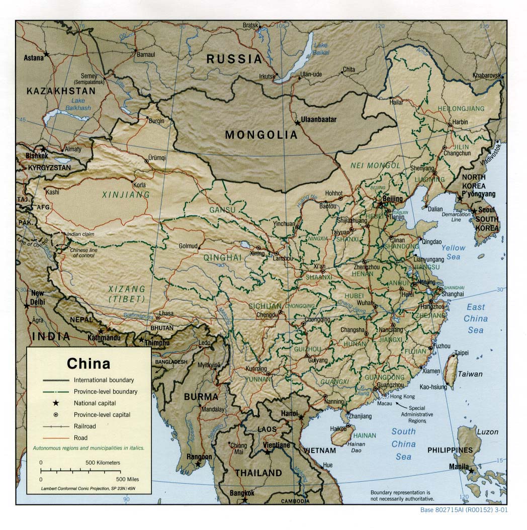
Asia - China
In the Ili (Yili) Valley in the Xinjiang Uygur Autonomous Region of northwestern China, above-normal temperatures in early February (Feb 2006 Temperature Anomaly Map) caused rapid snowmelt which, along with heavy precipitaiton, led to damaging floods (Xinhua). After the accumulation of heavy snowfall in December 2005 and January 2006 in the Tianshan Mountains, days of very warm temperatures accelerated the snowmelt that flooded the Ili Valley (China Daily). Over 11,000 people in the area were trapped by the floods, and more than 6,400 houses were damaged, along with roads and bridges. About 2,900 flood victims were reportedly relocated. According to a local civil affairs official, the flooding caused direct economic losses of approximately USD 800,000. (DFO)
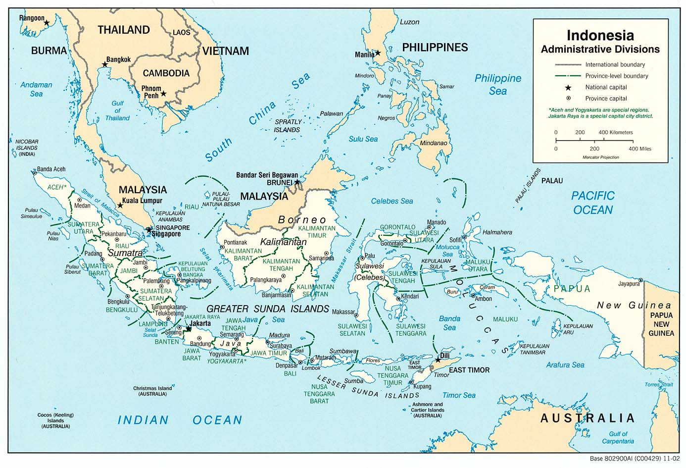
Asia - Indonesia
February marked the fourth consecutive month of above-normal precipitation in North Sulawesi, Indonesia, where initial assessments by the Indonesian Red Cross (PMI) indicate that flooding and landslides displaced 17,500 people (Precipitation Anomaly Animation). Manado City, the provincial capital, was among the worst affected areas when the Rano Wangko River overflowed on 21 February. Earlier in the month (13 February), flooding and slides hit Manado City, Minahasa Selatan, Minahasa, and Tomohon City. According to the Provincial Coordinating Unit for the Management of Disaster, these events killed a total of 33 people and left 6 missing. PMI estimates also indicate that 9773 livestock were lost, and more than 2000 homes and 1100 hectares of agricultural land were damaged. Rp.570 million (USD 62,000) in relief funds have been provided by the Minister of Social Affairs and Minister for People's Welfare. Additional assessments of damage and needs are being conducted by OCHA, PMI, and government agencies. (OCHA, ReliefWeb Map, OCHA)
The latest IRI seasonal forecast for April-June 2006 indicates a slightly enhanced likelihood of above-normal precipitation in the easthern two-thirds of Indonesia.
Asia - Philippines
Heavy rainfall triggered a mudslide on 17 February that buried Guinsaugon village in the Philippine province of Southern Leyte. According to the latest reports from the area, 139 deaths have been confirmed and 980 people are still missing. 248 of the missing are students and teachers who were in a school that was buried. Nearly 18,900 people were affected by the slide. (NDCC, IFRC Map) Two weeks of heavy rainfall during early February contributed to the collapse of the mountainside (Feb 2006 Precipitation Percentiles Map). The area was already saturated due to above normal rainfall during December and January, which are typically the wettest months of the year (Dec 2005-Feb 2006 Precipitation Anomaly Animation). (AFP, NASA Image)
Central America - Costa Rica
Above-average precipitation during September-November 2005 in Costa Rica has been linked to loss of wildlife in Corcovado National Park. The park received 85 percent more precipitation than normal during the three-month period (3530 mm vs. climatological average of 1905 mm), which coincides with the September-October rainy season in that area. The abundant rainfall brought numerous problems for the monkey population in particular. Fruit trees either did not produce any fruit or their fruit fell to ground, which was problematic for monkeys who will stay up in the trees during incessant rainfall. The situation was especially harmful to endangered spider monkeys, whose diet is based almost entirely on fruit. This lack of food and water, which must also be found on the ground, left the monkey population vulnerable to normal parasites and infections. Estimates indicate that half of the spider monkey population in Corcovado National Park have been lost in the past few months. (New York Times)
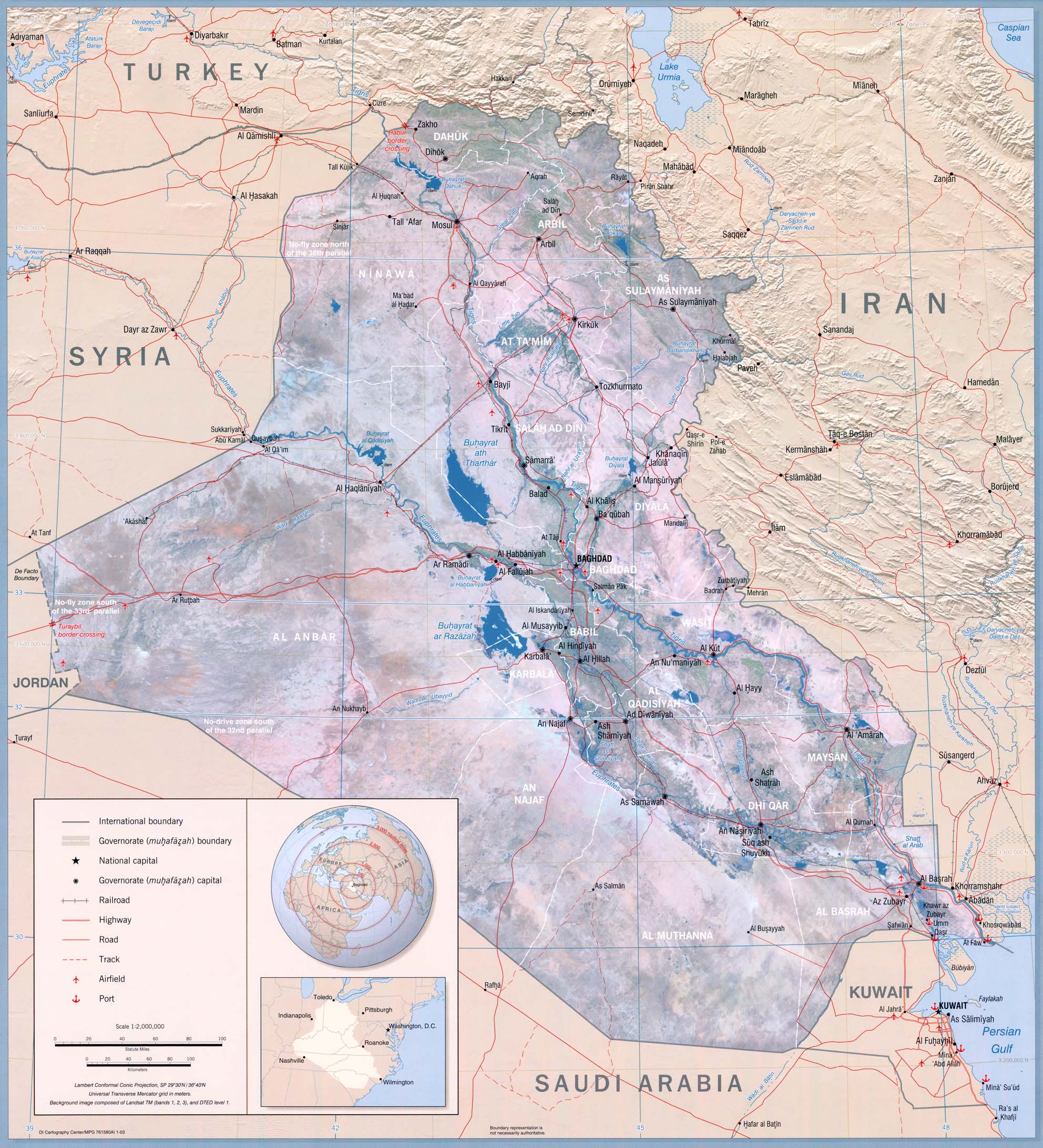
Middle East - Iraq
Snowmelt in the mountains of northern Iraq and days of heavy rainfall in early February (Feb 2006 WASP Index Map) caused river flooding which forced as many as 7,500 families from their homes in northern and southeastern Iraq (IFRC, ICRC, IFRC). The governorates most affected include Erbil, Sallahaddin, Kirkuk, Dyiala, and Missan (IFRC Map). As of the 21st of February, over 1000 families were still in camps because their homes had been destroyed in the flooding. About 150 homes in Missan and 75 homes in the Sallahaddin and Dyiala governorates were destroyed, and over 900 homes nationwide were damaged (IRIN). There have been reports that some of the people displaced by the floods have become ill with gastro-intestinal diseases (IRIN, IRIN).
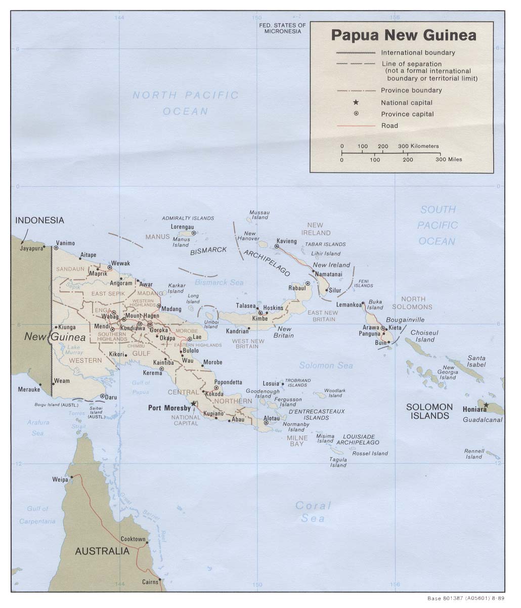
Oceania - Papua New Guinea
Seasonal rainfall brought flooding and landslides to Papua New Guinea during February. The provinces of Morobe, Central and Western Highland were worst affected. Flooding in northwestern Central Province left approximately 10,000 homeless and killed at least one person. Many household gardens were destroyed in the districts of Mekeo, Inauabui, Veifa, Biotou and Kairuku, which is causing concern for future food security on those areas. (IFRC, IFRC Map) 20,000 people were stranded in Western Highland Province after flood waters washed away a bridge. Cemeteries were disturbed as well, which made water in the affected area undrinkable. As many as 18 people were killed in a landslide and flooding in Morobe Province. (Salvation Army, Salvation Army) Flooding in Papua New Guinea is common during the rainy season, but some areas have reported this has been the worst in 40 years. (Climatological Precipitation Animation, IFRC Map)
The latest IRI seasonal forecast for April-June 2006 indicates a slightly-enhanced probability of above-normal precipitation in western Papua New Guinea.
South America - Bolivia,Brazil,Ecuador,Peru
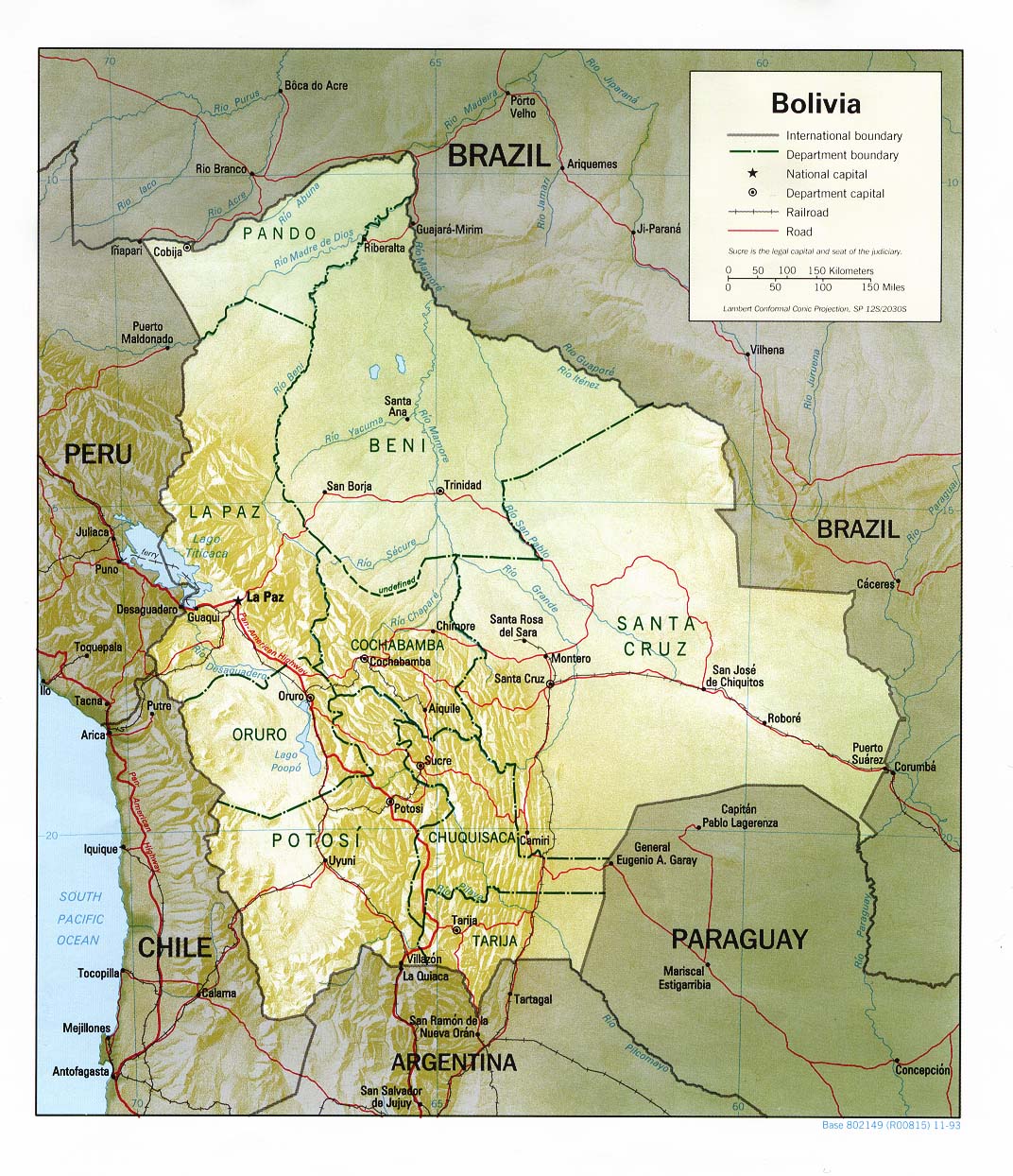
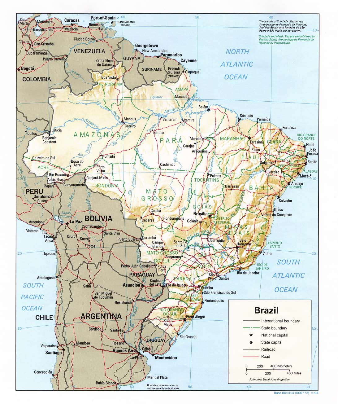
Following upon flooding that affected many areas of Bolivia in January (Feb 2006 CID), additional rainfall in February (Precipitation Persistence Map) caused more flooding and related damage in Bolivia, northwestern Brazil, Peru, and Ecuador. In the early days of February, the government of Bolivia declared a state of emergency and asked for international assistance. The renewed rainfall and flooding in February most heavily affected locations along the Beni, Madre Dios, and Orthon Rivers in the departments of Beni and Pando in northern Bolivia. According to OCHA, recent estimates indicate that 27,500 families had been affected, 12,742 were in need of humanitarian aid, 23 people had been killed, and 9,374 families had been evacuated from their homes (OCHA). Early estimates of the value of crop losses are between USD 6.4 million and USD 7 million (CRS, OCHA).
In the neighboring Brazilian state of Acre, about 30,000 people have been affected by flooding, over 7,700 homes have been made uninhabitable, and about 3,500 people were in temporary shelters at the time of the report. Twenty-three cases of the water-borne disease leptospirosis had been reported (CRS). And in some of the nearby Andean departments of southern Peru, including Huancavelica, Arequipa, Cusco, and Puno, the recent heavy rainfall has produced mudslides that blocked several roads (IFRC).
Heavy rains, possibly associated with above-normal coastal sea surface temperatures, have also affected coastal sections of Ecuador and northern Peru; climatologically, the peak in annual rainfall in the region is in February and March. Flooding has caused the most serious damage in the provinces of Guayas, Manab�, Los R�os, and El Oro of Ecuador, where large areas of agricultural land have been flooded and roads and bridges have been damaged (ReliefWeb Map). Eight people have been killed, 235 families have lost their homes, and 320 families have been evacuated (IFRC). In Tumbes, in northern Peru, 325 people have been displaced and 65 houses have been destroyed (IFRC, ReliefWeb Map).
Health
Africa - Tanzania
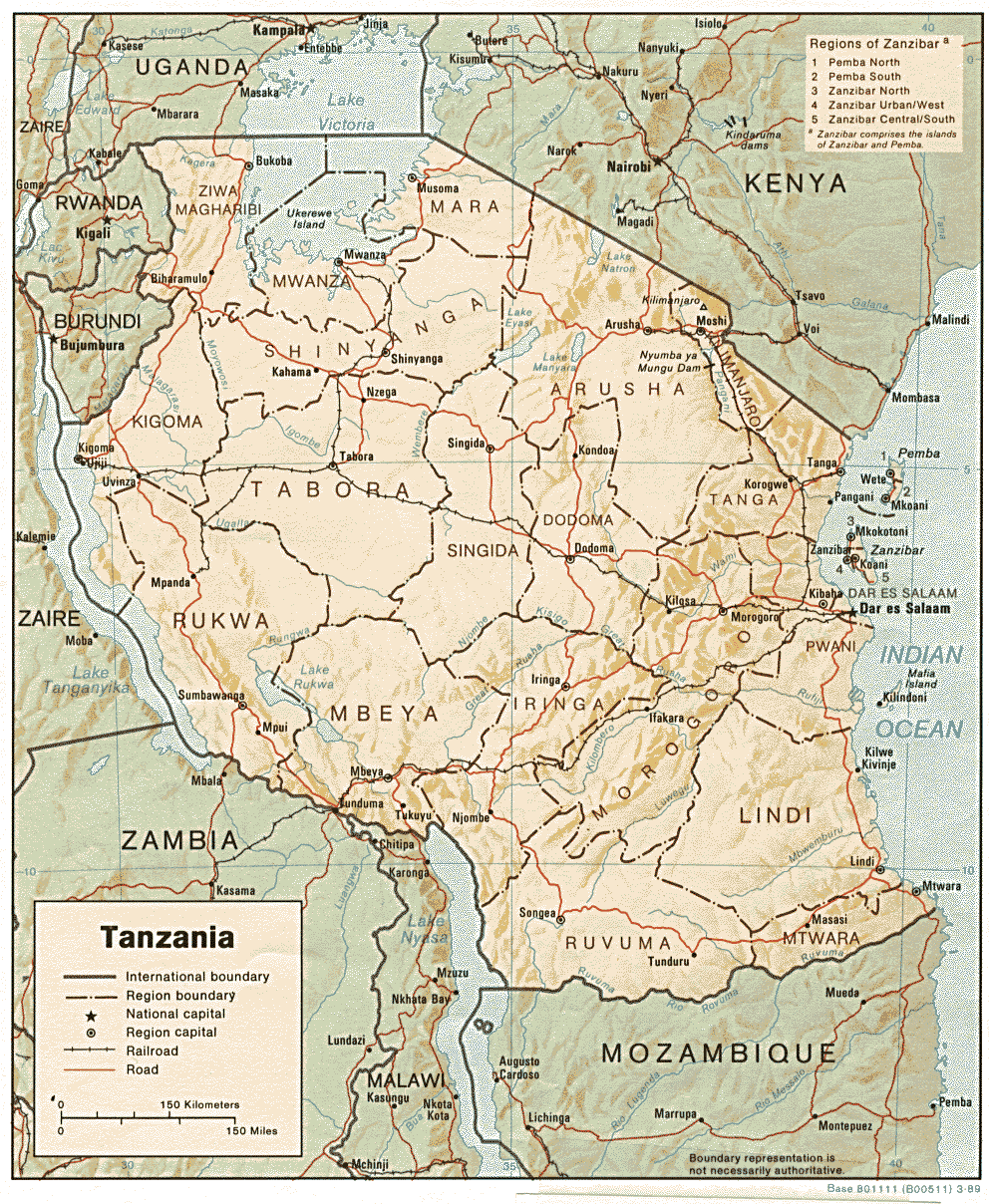
Although rains have recently begun to fall more steadily, especially in southern sections of the country, the below-normal rainfall (Sep 2005-Feb 2006 WASP Index Map) since October 2005 is expected to result in an extremely poor "vuli" harvest (which is typically completed in March) and has greatly reduced hydro-electric production in Tanzania. According to FEWS Net, since the end of the last harvest in Tanzania in October 2005, the price of staples such as rice and maize has risen extremely quickly and is now well above average (FEWS Net). The national government has begun distributing nearly 15,000 tons of maize to about 565,000 people who are unable to pay the higher prices (IRIN). In semi-arid pastoral and agropastoral areas, especially in the central and northern parts of the country (IFRC Map), the drought has led to shortages of pasture and water and resulted in poor livestock conditions. Food security at the household level has declined because of falling livestock prices, poor harvests, and increasing food prices (FEWS Net, IRIN). Additionally, an army worm infestation that began in northern and southeastern Tanzania has destroyed about 50,000 acres of maize and other crops (IRIN). Because of these factors, about 85% of Tanzania's 129 districts and about 3.7 million people are at risk of food shortages; of this number more than 565,000 people will need emergency food aid through the end of April (IFRC).
The worsening food security situation in Tanzania is typical of the effects of the drought throughout East Africa (see Feb 2006 CID, Jan 2006 CID) which has left 11 million people in Ethiopia, Somalia, Kenya, and Djibouti at risk of food shortages as well.
The below-normal rainfall in Tanzania has also resulted in power cuts that now last for 16 hours during the day, up from 8 to 12 hours previously (see Feb 2006 CID). More than two-thirds of the country's electricity producing capacity is derived from hydropower. The primary hydropower reservoir at Mtera Dam is nearly too low to continue producing electricity; according to President Jakaya Kikwete, hydropower capacity has been reduced by the drought from 561 MW to about 50 MW (Reuters, IRIN).
Water Resources
Europe - United Kingdom
Water companies in southeastern England have begun imposing water use restrictions on their customers because of low water supplies resulting from below-normal precipitation (Mar 2005-Feb 2006 WASP Index Map) during the past fifteen to eighteen months. According to the U.K. Met Office, November 2004 to January 2006 was the second driest fifteen month period on record in southeastern and central England (U. K. Met Office). Some reservoirs in the Southeast are approximately 40 percent full when they would normally be above 90 percent full at this time of year (BBC). The current situation is being compared to the extreme drought year of 1976 (BBC). The government has recommended, and water companies have begun to impose, water use restrictions such as prohibitions against the use of water hoses, and the implementation of water meters is also being considered. There is also growing concern that low stream and soil moisture levels may begin to have serious effects on some tree and fish species (BBC). (Bloomberg, Southern Water).
Agriculture
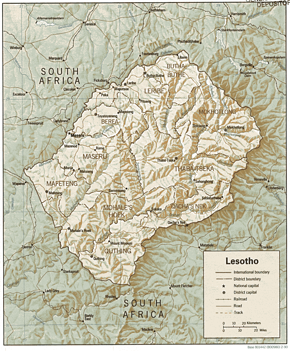
Africa - Lesotho
Rainfall during January and February (Feb 2006 Precipitation Percentile Map) characterized as the "heaviest in two decades" (IRIN) has destroyed over one-third of the crops in Lesotho, including maize, sorghum, and beans, due to the erosion of topsoil, according to the NGO, Participatory Ecological Land Use Management (PELUM). The next harvest is expected in April. Twenty deaths have also been reported as a result of the heavy rains, and roads and bridges have also been damaged. Agricultural production has dropped off in recent years due in part to below-normal rainfall, as well as the effects of HIV/AIDS, poverty and poor agricultural practices (IRIN). For the southern African region in general, however, the widespread above-normal precipitation during the current 2005/06 rainy season (the rainy season in Southern Africa generally runs between November and March) has been favorable for developing cereal crops, according to FEWS Net. (Reuters)
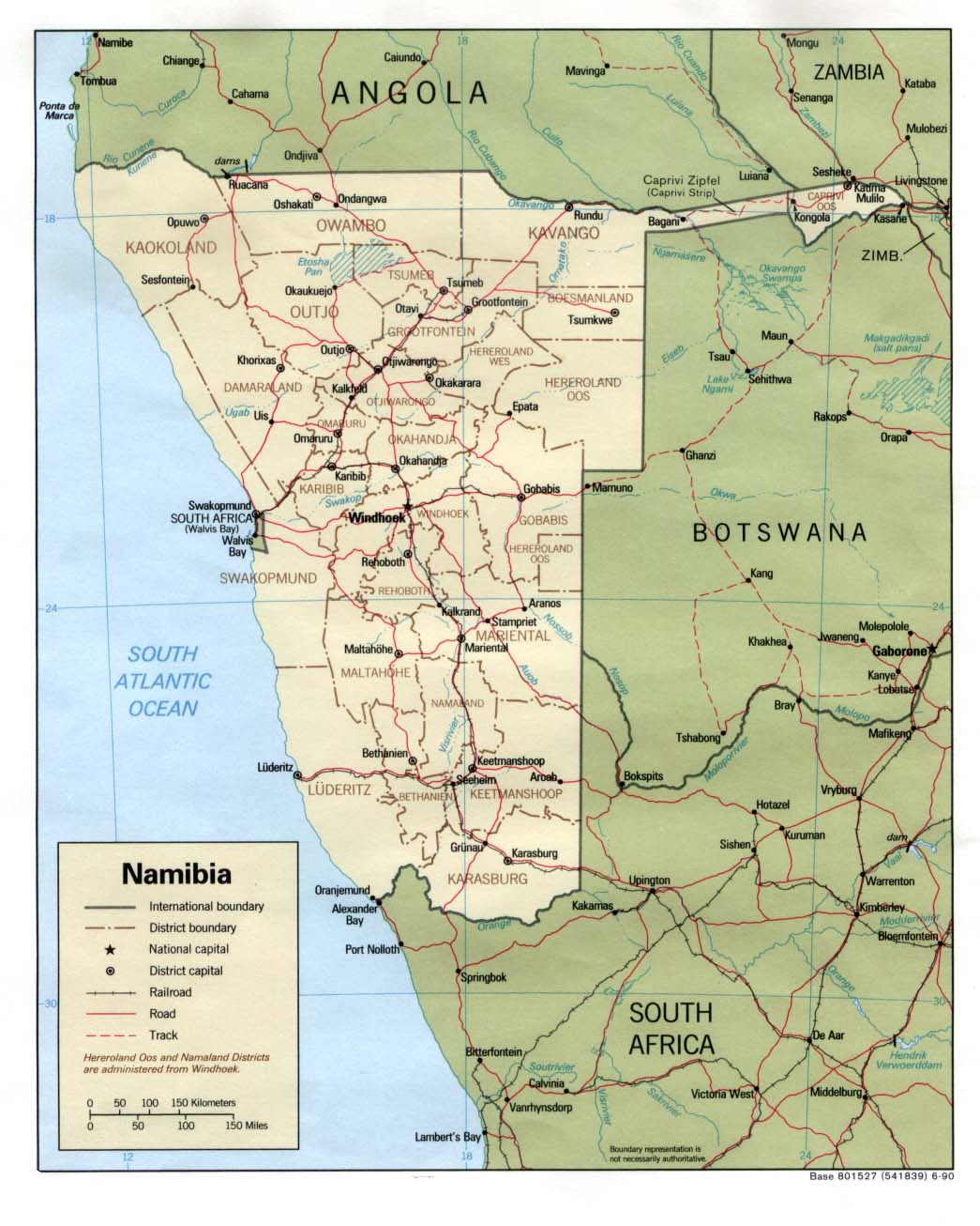
Africa - Namibia
The Fish River in southern Namibia overflowed and flooded the town of Mariental after heavy rainfall forced officials to open the Hardap Dam on 24 February. According to reports, heavy rainfall during mid-February filled the reservoir behind the dam to a level that could not be managed (Feb 2006 Precipitation Percentile Map). The flood displaced 2100 people, although 14,000 were advised to evacuate. Reports indicate that there were two deaths, and 122 homes and 80 businesses were submerged. Livestock and farm machinery losses were also reported. Preliminary damage estimates indicate losses of approximately USD 13 million. February marks the peak of the climatological rainy season in Namibia, which occurs during January-March. (IRIN, WFP, OCHA, ReliefWeb Map)
Contents |
Special |
Impacts |
Climate |
Forecast
|
