|
IRI Climate Digest
January 2006
Climate Impacts - December
Contributions to this page were made by IRI researchers
M. Bell,
Dr. A. Giannini,
E. Grover-Kopec,
Dr. B. Lyon,
C. Ropelewski
Hazards/Threats
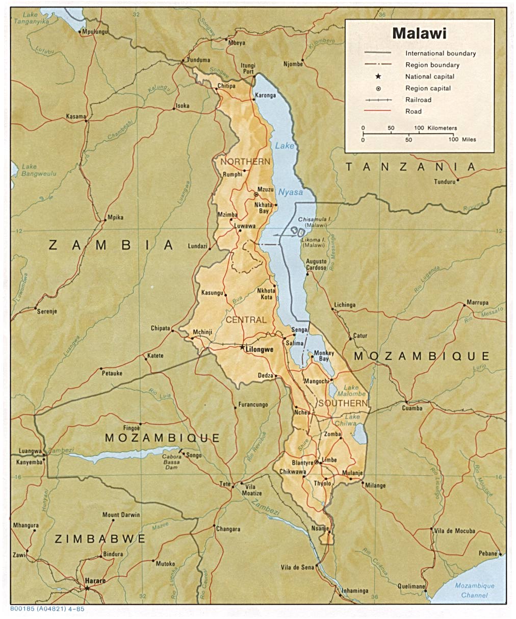
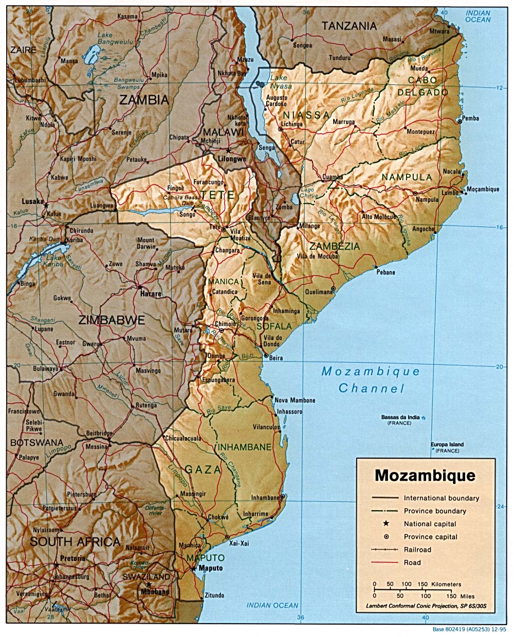
Africa - Malawi,Mozambique
Heavy rainfall in late December 2005 (CPC/FEWS 21-31 Dec 2005 Precipitation Estimate) and early January 2006 led to flooding in southern Malawi and central and northern Mozambique that displaced thousands of families and damaged thousands of hectares of crops. The flooding comes in the midst of a food crisis in Southern Africa, induced partly by drought, which threatens to leave 5 million people in Malawi short of food by April. As of January 3rd, flooding had killed eight people in Zambezia and Sofala provinces in central Mozambique and in Gaza province in the south. About 1,600 families were forced from their homes in Nampula province, and 100 families living near the Pungue River in Sofala province were made homeless (IRIN). In southern Malawi the heavy rains caused flooding along the Shire, Ruo, Nyamazire, Lalanje, Mwanza, and Kombezi Rivers. About 40,000 people (8,000 households) were made homeless and approximately 4,000 hectares of maize, cotton, and sorghum crops were destroyed in Chikwawa district (BBC, IRIN, AFP). In Nsanje district, where the flooding was characterized as the worst in 50 years, approximately 4,500 people were left homeless.
The latest IRI seasonal precipitation forecast for the February-April 2006 season indicates slightly enhanced probabilities of above-normal precipitation in southern Malawi and central Mozambique.
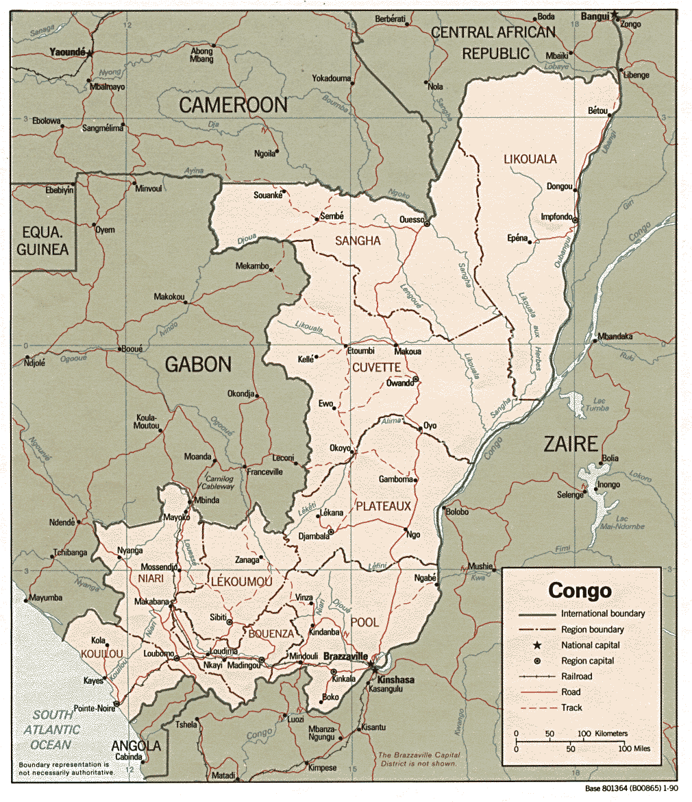
Africa - Congo (Brazzaville)
Heavy rains near the end of December 2005 caused flooding and mudslides in northern Brazzaville, Republic of Congo, leaving "scores" to "thousands" of people homeless (IRIN, Reuters) and one person dead. December 2005 precipitation in the area was in the top 10 to 20 percent of the 1961-90 distribution of December monthly rainfall (December 2005 Precipitation Percentile Map). Many houses in the affected districts were reportedly built illegally and were subject to flooding.
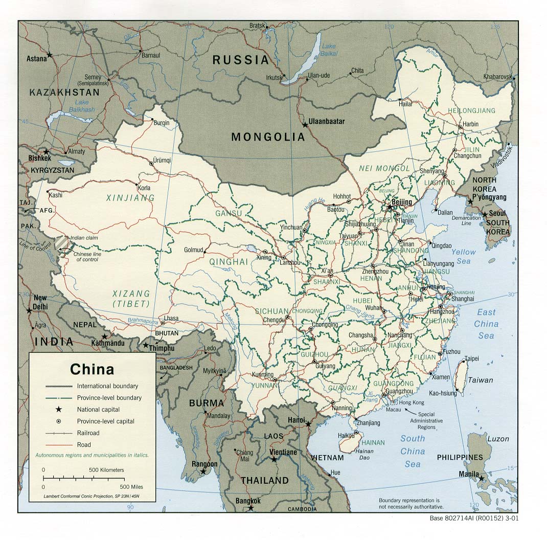
Asia - China
China experiences natural disasters every year, and 2005 was no exception. Seasonal flooding occurred along rivers in northeastern and central China while portions of southern China experienced severe drought conditions that limited water resources and jeapordized the food security of approximately 70 million people (Sep 2005 CID, Oct 2005 CID). Impacts from climate-related disasters, including those associated with blizzards, drought, floods and typhoons, caused more than USD 25 billion in damage, accounting for the largest economic losses in five years. Nearly 2500 deaths were attributed to natural disasters as well (AP/CNN, Climatological Precipitation Animation, 2005 1-Month WASP Animation).
The latest IRI seasonal precipitation forecast indicates a slightly enhanced probability of below-normal precipitation in sections of southern and southeastern China during February-April 2006.
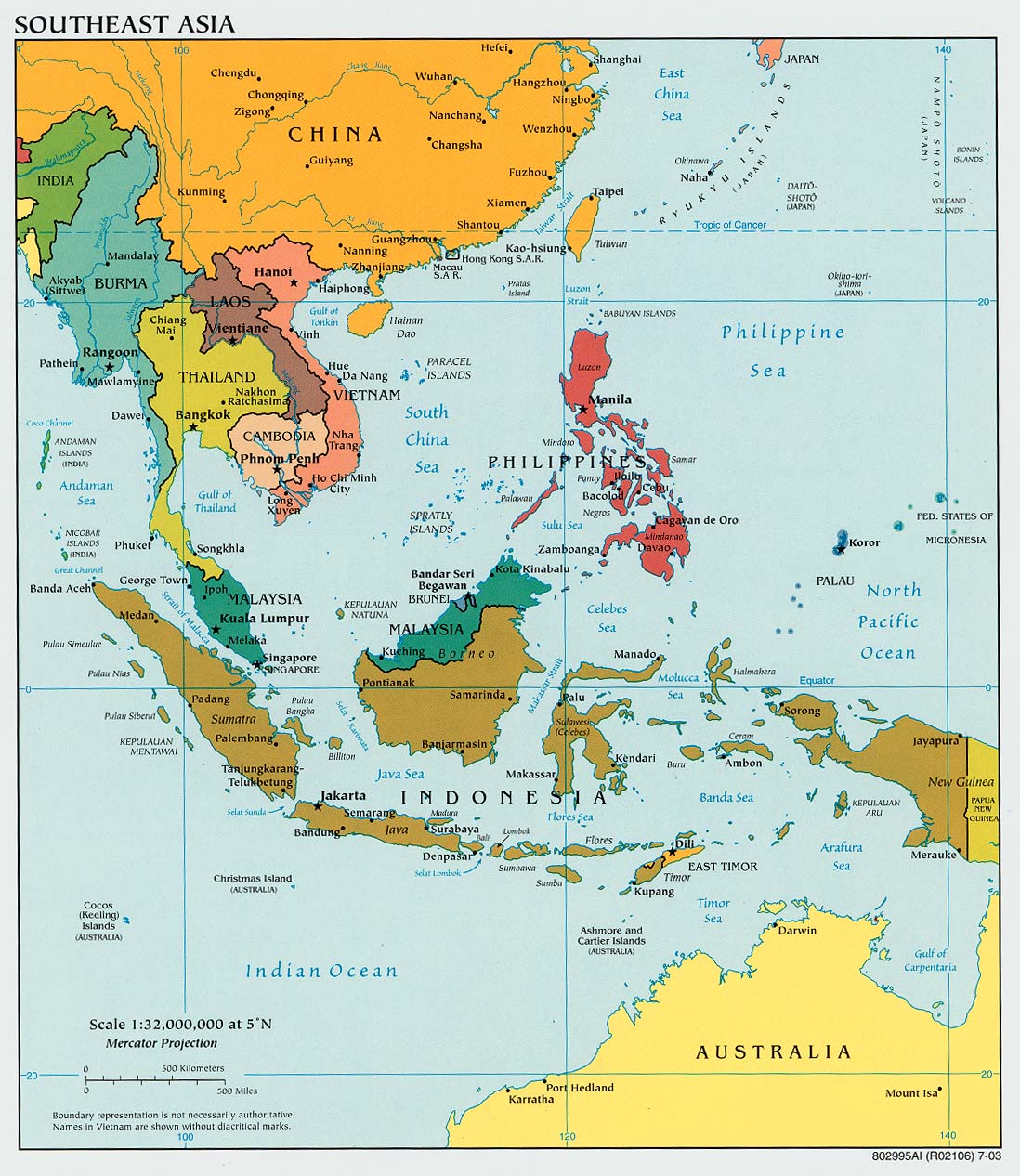
Asia - Asia: South,Asia: Southeast
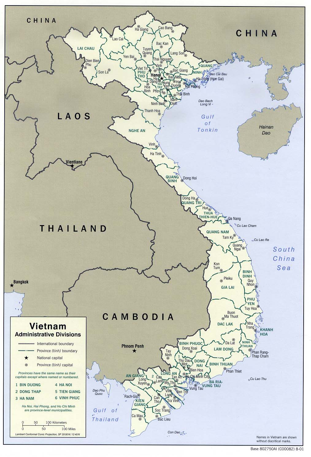
Abnormally high amounts of rainfall across Southeast Asia and the Maritime Continent during December brought flooding and landslides to many parts of the region (December 2005 1-Month WASP Map, Climatological Precipitation Animation). In Vietnam, there have been 69 deaths attributed to the flooding and slides, most of which occurred in the provinces of Khanh Hoa, Phu Yen, Binh Dinh and Quang Ngai. Flooding in the primary coffee-growing areas in the province of Daklak damaged approximately 500 hectares of coffee crops and has delayed the harvest in that region. Thirty-thousand hectares of rice crops have also been destroyed by the flooding. Total material losses have been estimated at nearly USD 20 million (BBC, AFP, Mail and Guardian).
Approximately 210,000 people have been affected by heavy rainfall and flooding in the Philippines. Nine deaths have been reported along with the the destruction of 158 homes, and crops and infrastructure valued at USD 350,000. Most of the damage occurred in the provinces of Sorsogon, Aklan and Ilo Ilo. Other damage was reported in the province of Oriental Mindoro after a dike was destroyed, flooding the city of Calapan. More than 71,000 people were affected by this flooding, and losses in Oriental Mindoro were estimated at nearly USD 515,000 (Xinhua, IFRC, IFRC Map, OCHA, ReliefWeb Map).
Officials in Thailand estimate that 1 million people have been affected by flooding that is being called the worst in 40 years. Most of the flooding has occurred in nine of the 14 southern provinces where 52 deaths have been reported. Flood damage in Hat Yai, the largest city in southern Thailand, has been estimated at USD 24 million. Most of the flood waters in the provinces of Pattany, Phattalung and Songkhla are not expected to recede until the end of January
(Mail and Guardian, AFP).
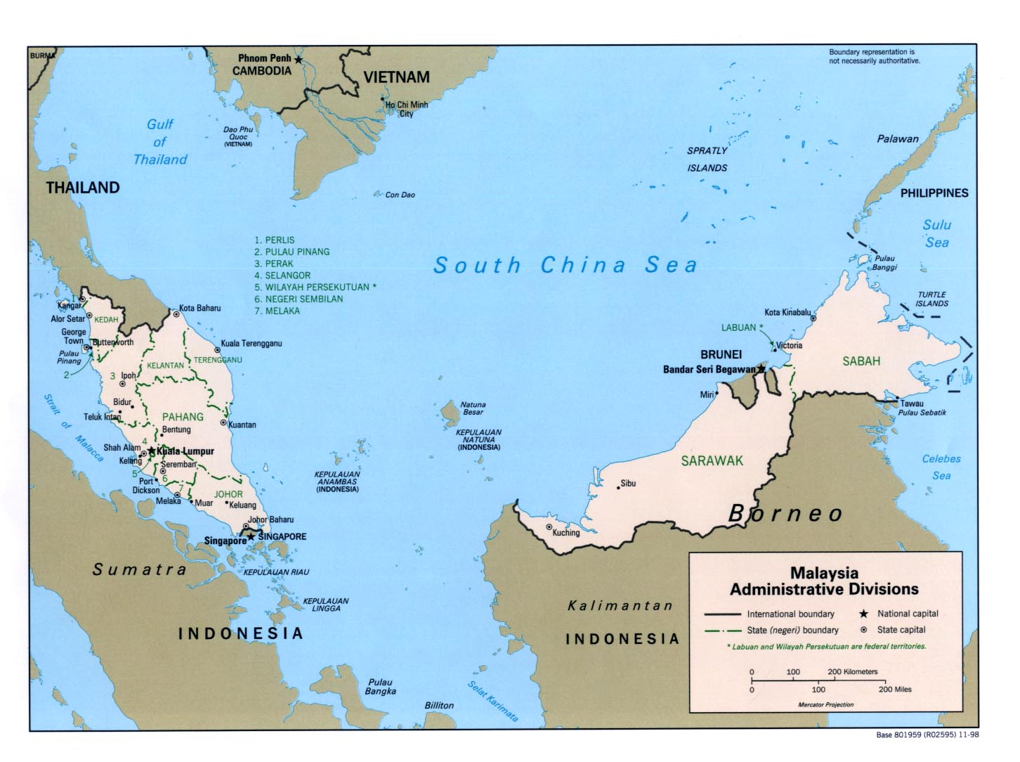
Nine flood-related deaths have been reported in Northern Malaysia, and more than 28,000 people were staying at relief centers in the states of Kedah and Perlis after being evacuated from flood-affected areas. Northern Malaysia typically experiences monsoonal flooding during November-March, but the flooding in Perlis, Kedah, Perak, Kelantan and Terengganu is much more severe than usual and has been called the worst to hit that region in 30 years
(Mail and Guardian).
Monsoonal flooding is also not unusual in Indonesia during this time of year, where flash flooding and landslides along the Dinoyo River killed at least 79 people in late December and early January in the Jember district, East Java Province. Another 7781 people were displaced by the floods and slides that damaged 2500 buildings. A landslide in Cijeruk (Sijeruk) village, in the district of Benjarnegara, killed at least 74 people in early January. The slide covered more than half of the 184 homes in the village with mud and debris (USAID, IFRC).
The latest IRI Seasonal Forecast indicates a slightly-enhanced probability of below-normal precipitation in northern and central Vietnam and above-normal precipitation in the Philippines during February-April 2006
North America - United States
Dry conditions and gusty winds set the stage for wildfires that burned more than 600,000 acres in the south-central portion of the United States in late December and early January. Southern Oklahoma and central and northeastern Texas were among the areas most affected by the fires and have experienced severe drought conditions during 2005 (12-Month WASP Index Map, U.S. Drought Monitor). Fires were also reported in New Mexico, Louisiana, Colorado and Arkansas. Five deaths were reported, and at least 475 homes were destroyed by the fires across the region (AP, AP, AP, AP, CNN).
The latest IRI seasonal precipitation forecast for the upcoming February-April 2006 season suggests a slightly increased probability of below-normal precipitation for sections of west Texas, western Oklahoma, and New Mexico.
North America - United States
A series of extratropical storms brought heavy rainfall (Dec 2005 WASP Index Map) to the Pacific coast of the United States, resulting in damaging floods and landslides in late December 2005 and early January 2006. In the state of California, flooding along the Sacramento, Russian, and Napa Rivers (DFO, DFO Map), among others, flooded homes and businesses, causing USD 100 million in damage, according to early estimates (AP). A state of emergency was declared in seven of the state's counties. The floods were characterized as the worst in the region since the flooding events of 1997 and 1998 (AP). Mudslides and flooding also temporarily closed some interstate highways and disrupted passenger rail service between Vancouver, British Columbia, Canada, and Portland, Oregon (AP).
The latest IRI seasonal precipitation forecast indicates a slightly enhanced probability of below-normal precipitation for southern California and southern Nevada during the February-April 2006 season.
Health
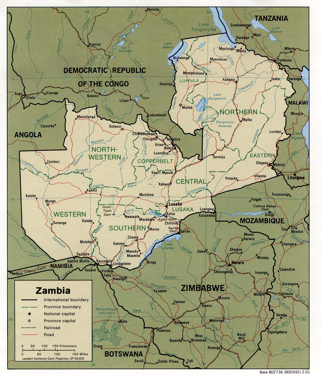
Africa - Zambia
Zambia has seen a surge of cholera cases since heavy rains fell in December (Dec 2005 Precipitation Percentiles Map). Sanitation and water quality problems are generally the primary cause of cholera outbreaks, but these issues are often exacerbated during the rainy season. As of 28 December, the outbreak, which began in August, included 1144 cases and caused 6 confirmed deaths. Another 6 deaths were yet to be confirmed. According to the Ministry of Health, most of the cases have occurred in Lusaka (IRIN).
The latest IRI seasonal precipitation forecast for February-April 2006 indicates a slightly enhanced probability of above-normal precipitation for sections of eastern and western Zambia.
Africa - Guinea-Bissau
Guinea-Bissau bore the brunt of a cholera epidemic that affected West Africa during the second half of 2005 (October 2005 CID), and government authorities recently declared that the worst of it is now over. The lack of new cases during the last few weeks of December prompted the declaration. According to health officials, cholera outbreaks are a relatively common problem in the area during the rainy season, which occurs during July-September, but the 2005 epidemic was particularly severe due, in part, to abnormally heavy rainfall. According to a report from the Ministry of Health, the epidemic in Guinea-Bissau, which began in June, included 25,111 cases and 399 deaths (IRIN).
Africa - Africa: Greater Horn
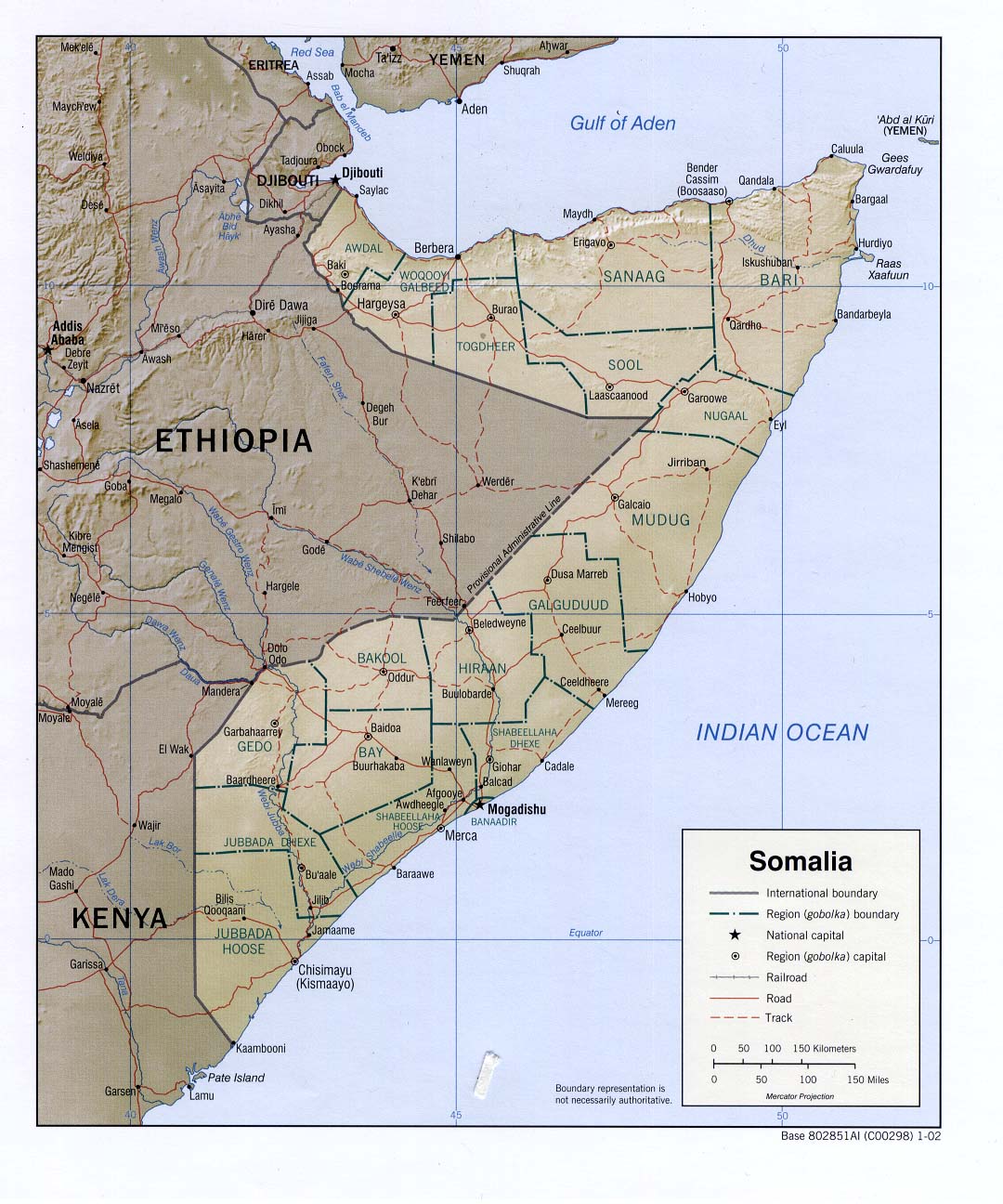
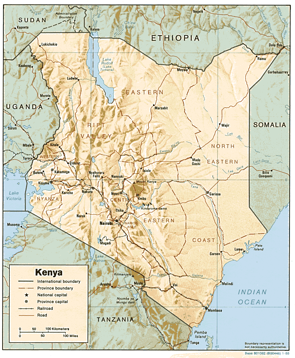
According to the UN Food and Agriculture Organization (FAO), over 11 million people in Ethiopia, Djibouti, Somalia, and Kenya are at risk of starvation due to the effects of conflicts and recent drought (FAO). In southern and eastern Ethiopia, southern Somalia, and northern and eastern Kenya, the October-December 2005 short rains largely failed (Oct-Dec 2005 WASP Index), causing crop failures and widespread livestock deaths. The areas affected are populated primarily by pastoralists and agro-pastoralists.
In southern Somalia, where the rains have failed for two consecutive seasons and the Deyr (October-December) season harvest is feared to be the worst in a decade, the FAO has estimated that approximately 2 million people need humanitarian assistance (FEWS Net).
In the Somali region of eastern Ethiopia, a preliminary food security assessment has indicated that over 1 million people will face extreme food insecurity during the first half of 2006 (FEWS Net). This comes after reports in November and December suggested that food security for the country as a whole was expected to improve in 2006, due in part to good rains earlier in 2005 (FEWS Net). More recently, OCHA reported that the number of people in urgent need of humanitarian assistance in the Somali and Oromiya regions is as high as 1.75 million (IRIN).
The World Food Programme (WFP) has estimated that the number of people in northern and eastern Kenya who will need food aid over the coming months could increase to 2.5 million (IRIN), while the Kenyan Information and Communications Minister now says that 3.5 million Kenyans are now at risk (AP). In spite of a good maize harvest in western Kenya, there have already been reports from northern Kenya (and in southern Ethiopia as well) of people dying from hunger-related illnesses (Washington Post, IRIN, BBC).
The latest IRI seasonal precipitation forecast for the February-April 2006 season, which includes much of the March-May long rains in East Africa (Climatological Precipitation Animation), indicates slightly enhanced probabilities of below-normal precipitation throughout most of the Greater Horn.
Water Resources
Africa - Tanzania
Prolonged drought is affecting water resources on Zanzibar, a semiautonomous island in Tanzania. Most drinking water comes from two springs on the island which normally provide 14 million liters per day to Stone Town and the Urban-West region. The springs, however, are currently providing less than 30 percent of that (4 million liters/day). Authorities have prohibited the unnecessary use of water. Energy resources are also being affected. Zanzibar receives 75 percent of its power supply from the mainland where a drop in river levels has kept dams from being able to generate power at optimum levels (IRIN).
Agriculture
Europe - Europe: East,France,Portugal,Spain
While drought in France, Spain, and Portugal (Reference Map) during the boreal summer of 2005 caused sharp declines in corn production, favorably wet weather in southeastern Europe resulted in bumper corn crops, according to estimates from the USDA. Precipitation deficits in the Iberian Peninsula began to accumulate in October 2004 and continued throughout the summer growing season of 2005 (Nov 2004 - Jul 2005 WASP Index Map), ultimately resulting in losses to winter and summer crops and contributing to wildfires (May 2005 CID, Aug 2005 CID). 2005/06 corn production in France, the EU's largest producer, fell 3.2 million tons from the previous year, to 13.2 million tons. In Spain, corn production fell 1.3 million tons to 3.5 million tons. And although it is a much smaller producer, the crop in Portugal was down fifty percent from 2004/05. As a result, corn production for the EU as a whole has been estimated at 46.9 million tons, down 6.4 million tons from last year.
Although rainy conditions in southeastern Europe throughout the boreal summer of 2005 caused damaging floods (Sep 2005 CID, Jul-Sep 2005 WASP Index Map), the moist weather was favorable to the region's corn crop. USDA estimates that 2005/06 corn production in the Balkans will be well above average, and a record corn crop is expected in Hungary.
Contents |
Special |
Impacts |
Climate |
Forecast
|
