|
IRI Climate Digest
July 2006
Climate Impacts - June
Contributions to this page were made by IRI researchers
M. Bell,
Dr. A. Giannini,
E. Grover-Kopec,
Dr. B. Lyon,
C. Ropelewski
Hazards/Threats
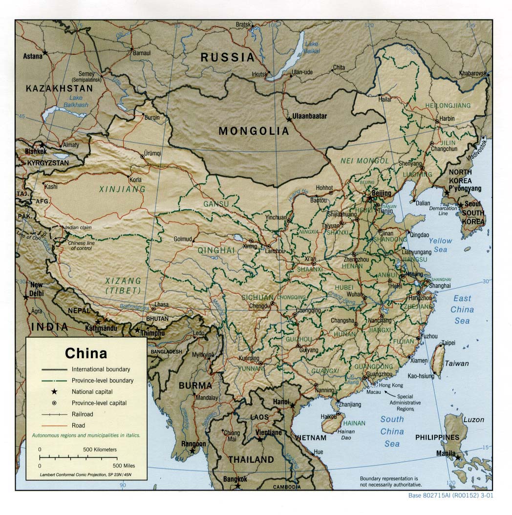
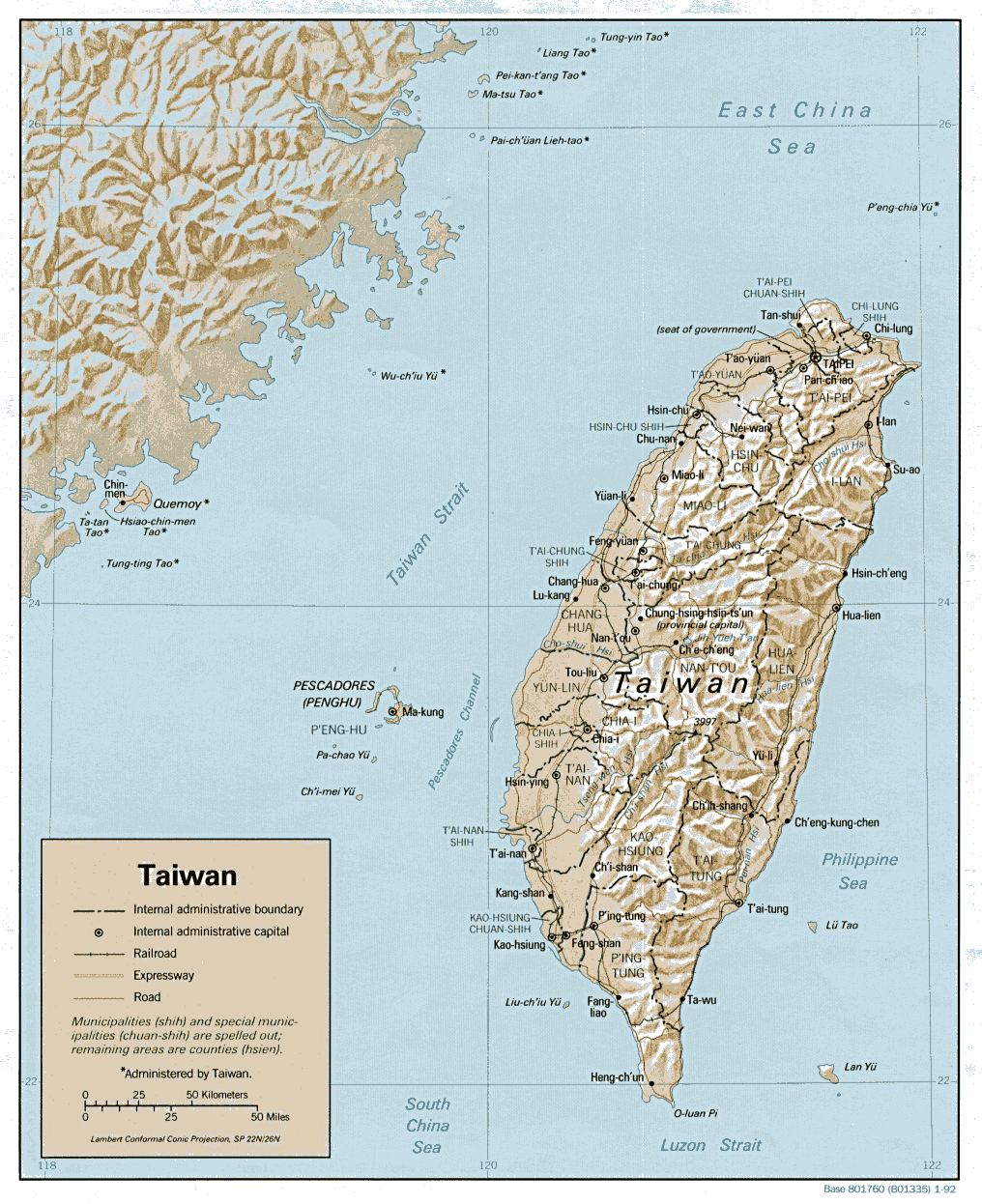
Asia - China,Taiwan
Several heavy rain events (June 2006 Precipitation Percentile Map) and flooding in southern and eastern China during the month of June caused the deaths of at least 350 people and resulted in the evacuation of approximately 1.6 million people from their homes (AFP, IFRC). The China Meteorological Administration estimated that heavy rainfall, flooding, and landslides have caused approximately USD 2.53 billion in damage since the end of May. By June southern and eastern China are typically well into the summer monsoon rains (Climatological Precipitation Animation). The affected provinces included Chongqing, Fujian, Hunan, Jiangxi, Guangxi, Guizhou, Guangdong, Sichuan, and Zhejiang (IFRC Map). The long-term drought conditions affecting northeastern China (see June 2005 CID), including Inner Mongolia, Heilongjiang, Jilin and Liaoning provinces, have been somewhat alleviated by extensive rainfall since the beginning of June (USDA). According to a recent report by the USDA, by the middle of the month, soil moisture amounts were favorable for the wheat, corn, soybean, and rice crops grown in the region.
Several days of heavy rainfall and flooding in early- to mid-June caused extensive damage to agriculture in central and southern Taiwan as well, particularly in the counties of Nantou, Taichung, Hsinchu, Changhua, and Chiayi. According to statistics from Taiwan's Council of Agriculture, about 20 percent of the total farmland on the island was affected, and the cost of the damage is as high as USD 33.23 million. About 20 percent of this amount was due to losses of poultry and livestock, including 490 pigs, 283,000 chickens, 65,000 ducks, and 15,800 geese. The most affected crops included rice, watermelons, grapes, persimmons, peaches, pears, and oranges (Asia Pulse, Taiwan Central News Agency)
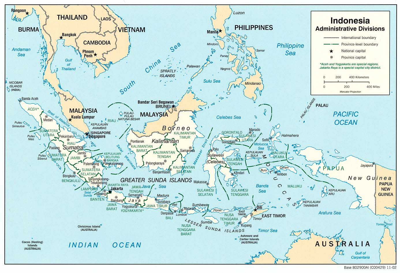
Asia - Indonesia
Heavy rainfall during 18-21 June triggered flooding and landslides in the Indonesian provinces of South Sulawesi, Gorontalo and South Kalimantan (Reference Map). In South Sulawesi, eight districts have been affected by flooding, including Sinjai, Jeneponto, Bulukumba, Bantaeng, Luwu Utara, Bone, Gowa, and Sidrap. Sinjai, Gowa and Sidrap were also affected by landslides (ReliefWeb Map). As of 30 June, nearly 8600 people were displaced and 226 deaths had been confirmed in South Sulawesi, most of which occurred in Sinjai province. Six people were killed and approximately 40,000 people were displaced in South Kalimantan. (OCHA, OCHA) Flooding and landslides are relatively common in Indonesia and often occur during the monsoon peak, the timing of which is quite complex and varies from location to location. Most of the affected areas, however, experience their peak in monsoon rainfall between January and April, making this June event more unusual.
The latest IRI seasonal precipitation forecast for August-October 2006 indicates slightly- to moderately-enhanced probabilities of below-normal precipitation in central sections of the Indonesian archipelago, including Borneo, Sulawesi, the Moluccas, Indonesian New Guinea, southern Sumatra, Java, and the lesser Sunda Islands, and slightly-enhanced probabilities of above-normal rainfall in northern Sumatra and slightly- to moderately-enhanced probabilities of above-normal precipitation in Papua New Guinea.
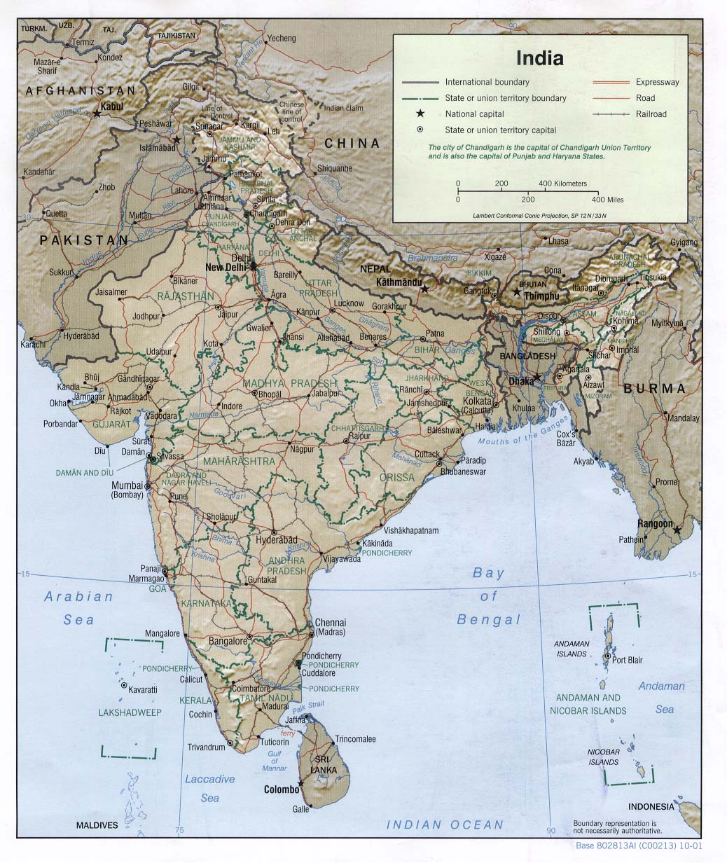
Asia - India,Nepal,Pakistan
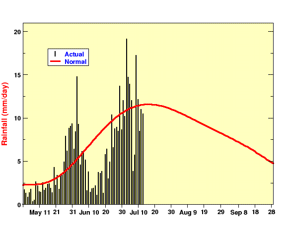
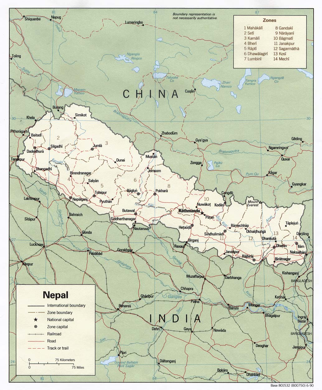
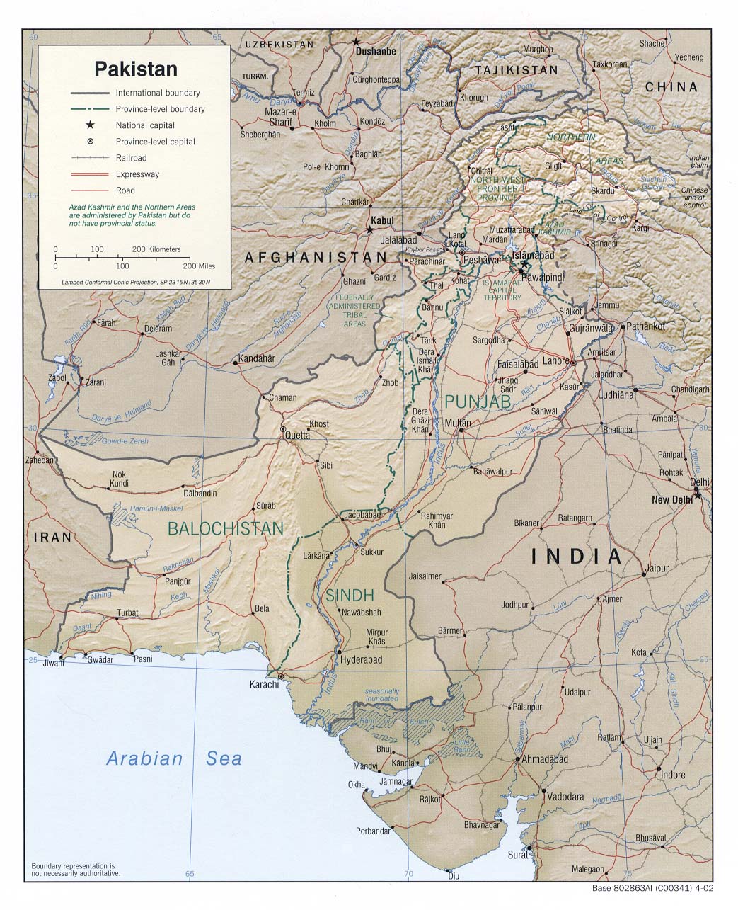
In India, the southwest monsoon started early, bringing above-normal precipitation to much of the country in May, then slackened in early June and restrengthened later in the month (Monsoon Online All India Daily Rainfall). During June the heaviest rainfall in India was concentrated in northern and eastern states (June 2006 Precipitation Percentile Map), including Uttar Pradesh and Assam. Flooding in Assam displaced approximately 600,000 people (AFP), and as of 9 July, about 286 people throughout India had been killed in incidents related to the monsoon rains (AFP). Flooding along the Rapti River in Nepal reportedly affected several villages as well (DFO). The danger of landslides with the onset of the monsoon has increased in areas of northern Pakistan affected by the October 2005 earthquake (IRIN, IRIN). In June, the government of Pakistan was making plans to move approximately 11,000 people from villages around Muzaffarabad in Kashmir in northern Pakistan due to the increased danger posed by landslides during the monsoon (IRIN). A landslide triggered by rains killed 22 people in the village of Gaheel in northern Pakistan in early July (OCHA).
The latest IRI seasonal precipitation forecast for the August-October 2006 season, which includes the end of the southwest monsoon, indicates a slightly-enhanced probability of below-normal precipitation in much of western India and sections of eastern India and Nepal, and Bangladesh.
North America - United States: Northeast
Hundreds of thousands of people were affected by severe flooding in the northeastern United States during late-June, with the states of New Jersey, New York, Maryland and Pennsylvania bearing most of the impact. Approximately 40,000 square miles (104,000 sq km) of the region were under flood warnings issued by the National Weather Service, and states of emergency were declared in New Jersey, New York and Pennsylvania during the last few days of June. More than 150,000 people were forced from their homes near Wilkes-Barre, where the Susquehanna River threatened to overflow its banks and newly reinforced levees. In neighboring New Jersey, portions of Trenton were under mandatory evacuation orders as the Delaware River poured into much of the capital city's low-lying areas. State government offices were forced to close, repeating similar actions by portions of the federal government in Washington, D.C. days earlier. Flood levels with an estimated 500-year recurrence interval were observed in southeastern New York, forcing approximately 200,000 people to leave their homes and causing an estimated USD 100 million in damage. The flooding there also forced the closure of more than 70 roads, including a 117 mile (187 km) stretch of the State Thruway. In all, 16 deaths across the region were blamed on the flooding and heavy rainfall. (Reuters, BBC, DFO, AFP, AP, WABC)
The flooding came after a stationary front located along the east coast of the United States brought record-breaking amounts of rain during the last week of June (Precipitation Percentile Map). Up to 14 inches (36 cm) of rain fell in just 24 hours in portions of Delaware and Maryland. (AP) Some of the region also experienced abnormally wet conditions during May, which meant the rains fell on ground that was already saturated, further contributing to the flooding (June 2006 CID).
Health
Africa - Africa: West
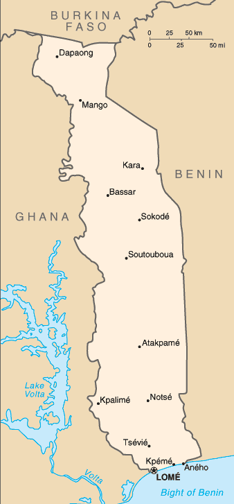
Seasonal rainfall has brought flooding to portions of Togo (Climatological Precipitation Animation). According to OCHA, the needs of the thousands affected by the flooding are assessed at nearly USD 140,000. In the Lome neighborhoods of Agoe Zongo and Silidji, more than 100 families have been forced from their homes. Health officials are concerned about disease outbreaks as approximately 10 people per day have visited Lome's main hospital for treatment of cholera since 20 June (IRIN).
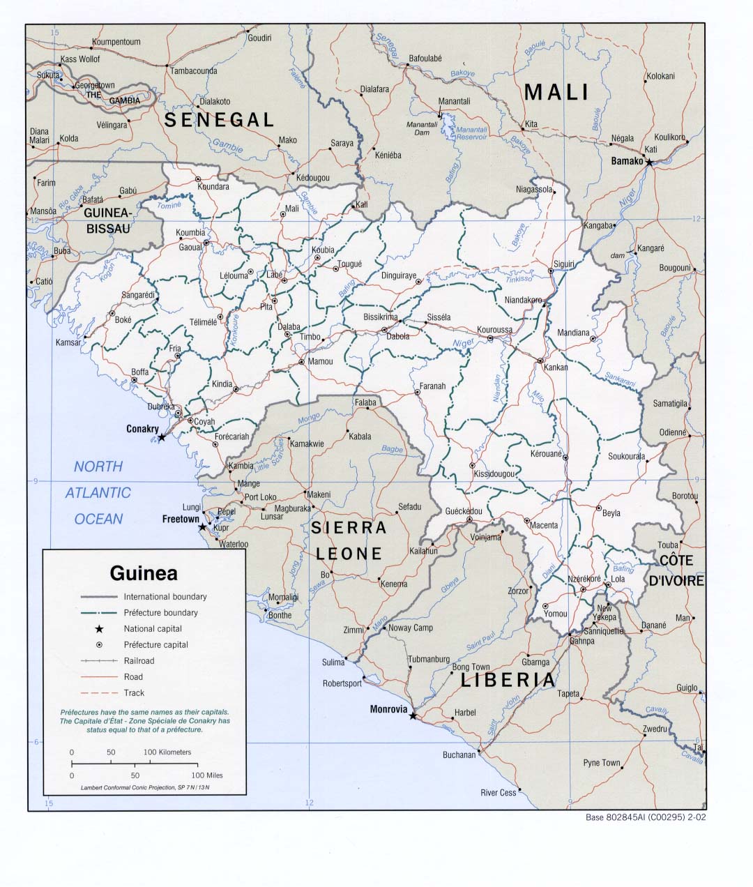
Cholera cases have also been confirmed in Niger and Guinea (IRIN). In Guinea, at least 127 people have died in the Forest Region, including the prefectures of Gueckedou, Kissidougou, N'zerekore and Lola. In Guinea-Bissau, officials are taking steps to avoid a repeat of last year's rainy season, when more than 26,000 cholera cases and 400 deaths were reported (IRIN). More than 42,000 people across West Africa were afflicted with the disease last year (IRIN).
The latest IRI seasonal precipitation forecast for the August-October 2006 season, the end of the rainy season in West Africa, suggests an enhanced probability of above-normal precipitation throughout the region, with the highest probabilities along the Gulf of Guinea coast.
Africa - Africa: East,Africa: Greater Horn
The March-May 2006 long rains (Mar-May 2006 WASP Index) in East Africa (Reference Map) were much better than those during the relatively dry 2005 season and have provided much-needed precipitation to some of the drought-affected areas of the region. However, there were still localized areas of below-normal precipitation for the season in eastern Ethiopia, Somalia, and Kenya (FEWS Net). Even with the general improvements in precipitation deficits and the prospects for improved crop production and pasture conditions in some areas, about 11 million people in the region are still at risk of food shortages (Apr 2006 CID). WFP has issued a new appeal for USD 90 million to help feed pastoralists in Kenya whose livestock herds have been decimated by the drought. WFP is feeding about 3.6 million people in Kenya alone and trucking water to livestock herders (Reuters). In Tanzania, poor rains over the past several months in both the north, where there are two rainy seasons, and in the south, where there is one, have set the stage for poor crop production and pasture conditions (FEWS Net). Low reservoir levels in both Tanzania and Uganda, where hydropower is an important source of electricity, have continued to cause daily power outages (Reuters). Although improved rains in parts of Ethiopia are expected to provide short-term relief to some pastoralists there, the southern Somali region of Ethiopia and areas of southern Somalia received below-normal rainfall. Livestock conditions and food security are expected to continue to deteriorate in those areas (FEWS Net, FEWS Net), and in Djibouti, which is also experiencing long-term drought (IRIN).
The latest IRI seasonal precipitation forecast for the August-October 2006 season, which includes the beginning of the short rains in areas of East Africa most affected by the drought, suggests an enhanced probability of below-normal precipitation from Ethiopia and northern Somalia southward into northern Tanzania.
Water Resources
No reported impacts this month associated primarily with water resources
Agriculture
No reported impacts this month associated primarily with agriculture
Contents |
Special |
Impacts |
Climate |
Forecast
|
