|
IRI Climate Digest
September 2006
Climate Impacts - August
Contributions to this page were made by IRI researchers
M. Bell,
Dr. A. Giannini,
E. Grover-Kopec,
Dr. B. Lyon,
C. Ropelewski
Africa
Hazards - Burkina Faso,Niger
Torrential rainfall events during the month of August (CMORPH Precipitation Animation) caused damaging floods in three provinces in northern Burkina Faso (IFRC Map) and in several regions scattered throughout Niger (ReliefWeb Map). The flooding in northern Burkina Faso affected the provinces of Oudalan, Seum, and Yatenga; in Oudalan alone approximately 12,000 people were affected. In the town of Gorom-Gorom and its vicinity, about 6,000 people lost their homes and were forced to seek shelter elsewhere (IFRC, IRIN). Crops, stored food, and other possessions were lost in the flooding. Grain production, pastures, and water resources in these same provinces were hit extremely hard by drought and desert locust infestations in 2004 (December 2004 CID). Additional flooding in September in western Burkina Faso has also affected approximately 20,000 people and is feared to have contaminated drinking water (IRIN).
Heavy rainfall events and flooding in several sections of Niger during August, including the regions of Agadez, Zinder, Tahoua, Dosso, and Tillaberi (ReliefWeb Map), damaged or destroyed houses, crops and other property, affecting more than 15,000 people (OCHA). According to the government of Niger, heavy rains and flooding have seriously affected over 32,700 people in the country so far this year (IRIN).
Hazards - Eritrea,Ethiopia,Kenya,Somalia,Sudan,Uganda
Heavy rainfall during the months of July and August (Aug 2006 Estimated Precipitation Animation, Aug 2006 Estimated Precipitation Anomaly from 1995-2005 Mean) resulted in very destructive flooding in many parts of Ethiopia (Govt. of Ethiopia DPPA Map, WFP Map) and in some locations in surrounding countries as well. As of 19 September, at least 647 people in Ethiopia had died in the flooding, over 363,000 people had been affected (IRIN, OCHA), and "substantial" losses of livestock and crops had occurred. The largest number of deaths occurred in the South Omo Zone (AFP) in the SNNPR region of southern Ethiopia and in the area of Dire Dawa (IRIN) in the northeast. Throughout Ethiopia, more than 145,000 people were displaced from their homes. Nearly 100,000 people have been affected in the Amhara Region in north-central Ethiopia alone, and as many as 70 percent of these lost their crops and will need food aid for the next four months, according to OCHA. Outbreaks of diarrhea have been exacerbated by the floods, according to the Ethiopian Ministry of Health, and have killed as many as 125 to 150 people (Reuters, IRIN).
In Sudan there has been extensive flooding along the Nile River; the Blue Nile reached a record high stage in Khartoum on 23 August. Approximately 24,000 people have been affected by heavy rains and flooding, particularly in northern, western, and central areas. At least 10,000 homes and tens of thousands of square kilometers of farmland have been damaged (OCHA).
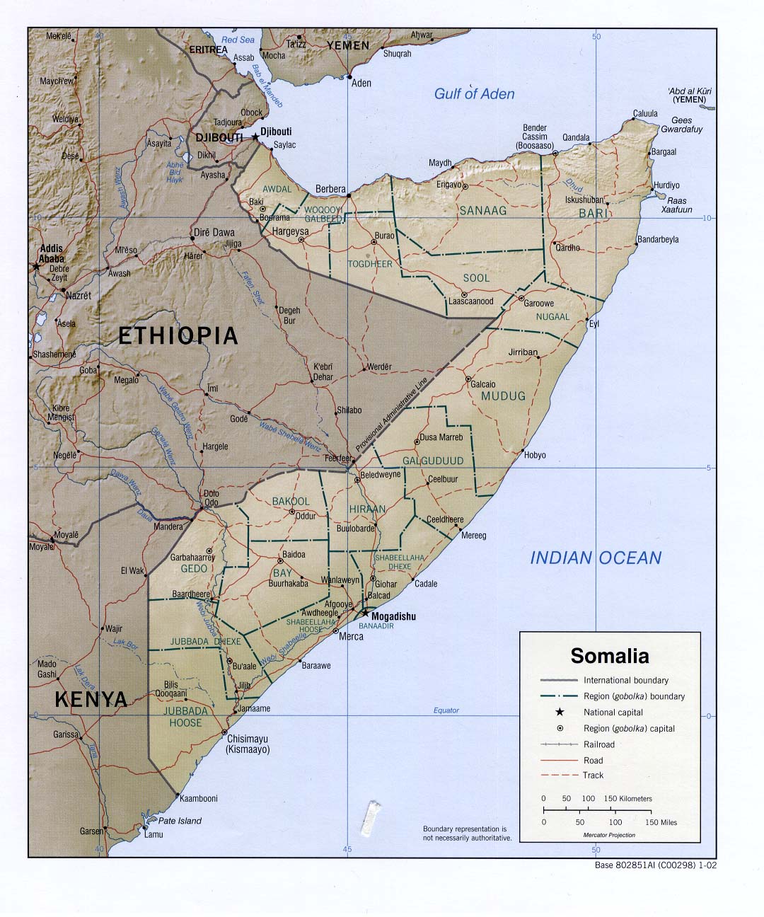
Flooding associated with heavy rain has caused damage in other neighboring countries as well. In the northern district of Marsabit in Kenya (OCHA Map), days of heavy rains resulted in flooding that killed four people, displaced over 2000 people, and killed 600 goats (IRIN). In the town of Tessenei in western Eritrea, 1,000 people lost their homes after the heaviest rains in eleven years, according to OCHA. There has been localized flooding or the threat of flooding along the Shabelle and Juba Rivers in southern Somalia (IRIN), and heavy rains and flooding along the Ngenge and Atari Rivers in eastern Uganda (OCHA Map) has killed three people and destroyed crops, livestock and other property.
The latest IRI seasonal precipitation forecast for the October-December 2006 season, during the heart of the short rains in East Africa, indicates a slightly-enhanced probability of above-normal precipitation in western Ethiopia, southern Sudan, northeastern Uganda, most of Kenya, and a small section of southern Somalia.
Asia
Hazards - Asia: South
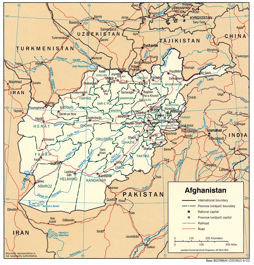
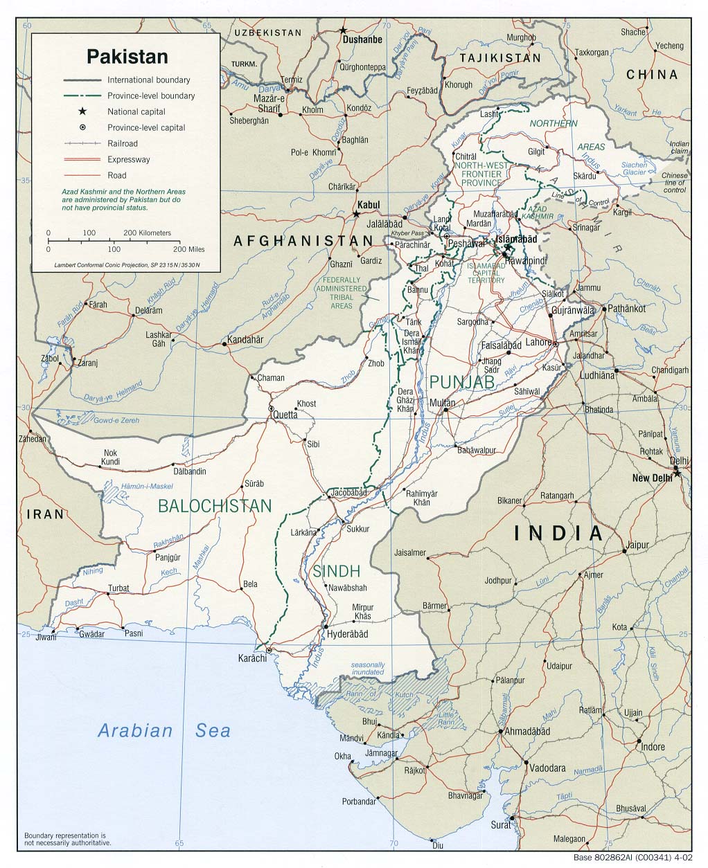
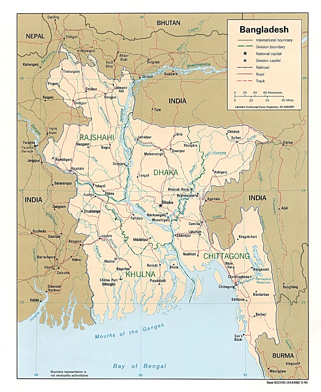
Monsoon rainfall caused destructive flooding during August across much of South Asia, including Afghanistan, Pakistan, India, Nepal and Bangladesh. In Afghanistan, 33 people were killed and more than 14,600 people were displaced in the southeastern provinces of Ghazni, Paktia and Paktika due to two weeks of flooding. At least 1960 homes and 75,000 hectares of farmland were destroyed. (IRIN) Another 11 people were missing after floods hit the eastern province of Nangarhar later in the month (IRIN). At least 230 people have been killed and 1000 villages have been submerged in northern Pakistan since flooding began there in mid-July. Tens of thousands of hectares of crops have also been lost in the the hardest hit provinces of North West Frontier, Punjab and Balochistan. Some of the flooding has affected the same areas that are trying to recover from the earthquake that struck the region in October 2005, forcing many families to return to relief camps. (IRIN, IRIN, IRIN, IRIN)
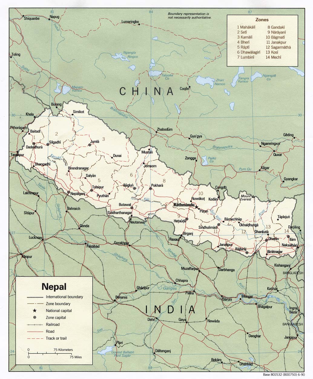
Western Nepal also felt the impact of heavy monsoon rainfall, with flooding occurring in the plains and landslides affecting the hilly regions. As of 12 September, more than 10,000 mt of grain had been destroyed, and nearly 60 people had been killed since 24 August in 14 western districts, with the remote areas of Bajura, Baitadi, Nawalparasi, Banke, Bardiya and Achham among those most affected. According to government estimates, the flooding and landslides affected nearly 50,000 people and killed as many as 2000 animals. (IRIN, IFRC, IFRC Map, OCHA Map, OCHA Map, IRIN)
Monsoon-related flooding continued in India during August and early September as well (Aug 2006 CID). More than 1 million people in the eastern state of Orissa lost their homes in the flooding, and at least 150 people and tens of thousands of animals were killed in the districts of Jodhpur and Barmer in the northern state of Rajasthan (Reuters, AFP) Offers of assistance came from the United Nations after flooding earlier in the season, which as of 12 August, had killed more than 160 people and affected at least 6 million people in Andhra Pradesh, Maharashtra and Gujarat (Times of India, Reuters).
The latest IRI seasonal precipitation forecast for the October-December 2006 season indicates a slightly-enhanced probability of above-normal precipitation for sections of northeastern Afghanistan, northern Pakistan, and northern India.
Hazards - Cambodia,Thailand,Vietnam
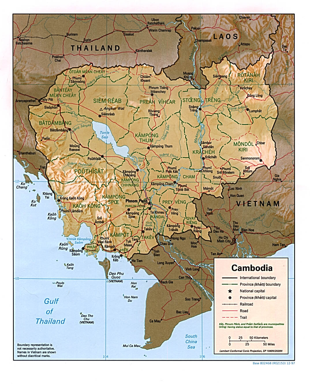
Nine provinces in Cambodia (IFRC Map) as well as portions of northern Thailand (IFRC Map) and northern Vietnam have been affected by heavy seasonal rains (Precipitation Anomaly Map) and flooding in August. According to the IFRC, there had been 5 deaths, 252 homes flooded, and 12 homes destroyed. More than 6,000 families were evacuated as well (IFRC). The Mekong River was reportedly reaching flood warning levels, as it often does at this time of year, particularly in southern sections of its course through the country. According to Reuters, at least eight people had been killed in Cambodia, and in the hard-hit southern province of Kampot (Reference Map), where 4,000 hectares of paddy fields had been damaged, the Red Cross had distributed food aid to nearly 10,000 people (Reuters). In northern Vietnam, at least 42 deaths had been reported and several thousand people had been evacuated to higher ground in anticipation of river flooding. Days of heavy rainfall in northern Thailand also caused problems, particularly in the provinces of Chiang Rai and Nan, where the flooding has been characterized as the worst in over 40 years (IFRC).
The latest IRI seasonal precipitation forecast for the October-December 2006 season suggests a slightly-enhanced probability of below-normal precipitation in small sections of southern Cambodia and Vietnam.
Agriculture - China
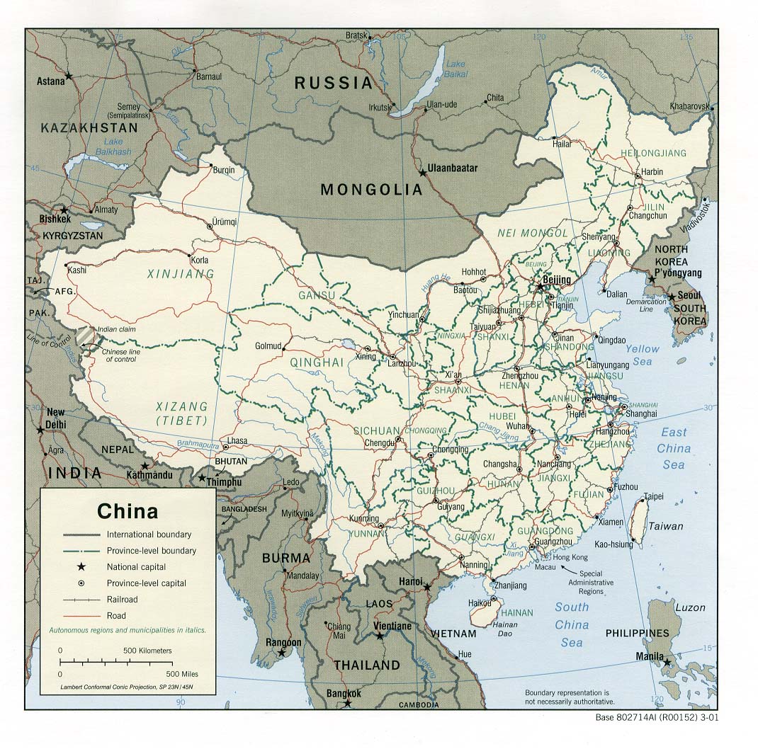
Hot and dry conditions have caused a devastating drought in south-central China, with the Sichuan province and Chongqing Municipality among the areas hardest hit (Jun-Aug 2006 WASP Index Map). Some areas in the region, known as the Sichuan Basin, have gone more than 40 days without measurable rainfall during what are normally the wettest months of the year (Climatological Precipitation Animation). Estimates indicate that more than 1.3 million hectares of agricultural land in the Sichuan Basin are suffering drought effects and another 280,000 hectares of land have been destroyed. Grains, vegetables, livestock, milk, poultry, and eggs are among the agricultural outputs impacted by the drought, which has contributed to overall agricultural losses of an estimated USD 240 million. These, and other direct economic losses have cost the region more than USD 1 billion, according to the USDA/FAS, but other estimates place losses as high as USD 2.43 billion (IFRC). Many of the non-agricultural impacts are due to severe water shortages in the area; levels of the Yangtze River near Chongqing were at a 100 year low during August. According to Xinhua, reservoirs that supply the city of Chongqing are only one-third full, leaving 7.9 million of the city's 31 million inhabitants without adequate drinking water. (USDA/FAS, AFP, IFRC)
North America
Agriculture - United States: Great Plains
The abnormal warmth that recently affected much of the United States and long-term precipitation deficits have caused drought conditions in much of the central United States (Drought Monitor, Aug 2006 CID). The federal government has authorized the distribution of USD 780 million to ranchers and farmers hit by the drought, particularly those in the states of Minnesota, South Dakota and North Dakota. (AP, NDMC Drought Reporter) In North Dakota, this year's fire season has been the worst in the state's history, according to fire officials (KXMB). The entire state, in addition to 51 counties in Minnesota and 10 counties in South Dakota, have been declared agriculture disaster areas, which makes farmers eligible for certain aid programs (Dickinson Press). Corn and sunflower crops, as well as pasture grasses, are among the agricultural outputs that have been hit particularly hard by the drought in the north-central U.S. Below-normal lake levels and associated above-normal water temperatures across the region have caused water restrictions and large-scale losses in fish populations as well (NDMC Drought Reporter).
Farther south in the state of Texas, a once-in-50-year drought has made 75 percent of the pasture land too dry to produce significant grazing or hay. Consequently, a 77 percent loss in hay production has been reported. (Dallas Business Journal, KETK) Drought-related damages in Texas are estimated to be USD 4.1 billion; crop and livestock losses account for 2.5 billion and 1.6 billion of the damages, respectively. Forty percent of the crop losses in Texas are due to damage to cotton, which is the state's most important cash crop (Southeast Farm Press).
The latest IRI seasonal precipitation forecast for the October-December 2006 season indicates a slightly-enhanced probability of above-normal precipitation in southern and western Texas and a slightly-enhanced probability of below-normal precipitation in parts of the north-central U.S.
Contents |
Special |
Impacts |
Climate |
Forecast
|
